
27
Mar
March Newsletter
!NEWS!
Welcome to our March Newsletter
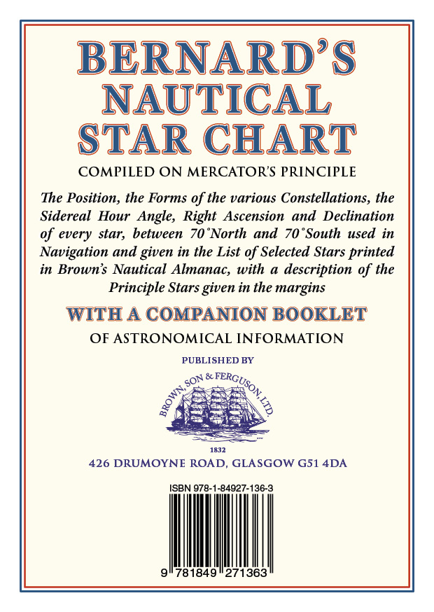
Bernard’s Nautical Star Chart
The Star Chart is now in two parts; the chart is constructed on Mercator’s Principle, showing all Navigating stars from 70︠° North and 70° South declination. Specially adapted for use in conjunction with Brown’s Nautical Almanac – selected stars precise location are detailed in the Almanac.
The Booklet contains a variety of information including notes on the solar system & star positions, tables of corrections & abbreviations, and notations & symbols used in astronomy.
RRP £14.00

Italian Waters Pilot
Italian Waters Pilot is the only guide for yachtsmen in English that covers the coasts of the Ligurian and Tyrrhenian Seas, Sardinia, Sicily, the Ionian ””heel”” and Malta in one volume.
This new eleventh edition has numerous updates throughout, with contact details, plans and text undergoing a thorough revision. Care has been taken to research the details of marina developments. Where available, information is given on proposed changes and extensions to yacht harbours. Marine reserves are an important feature of the coasts and off-lying islands, particularly in Sardinia and Sicily, and this edition provides updated details of the latest regulations. Climate change and extreme weather events are becoming a major issue and this edition includes a section on the how climate change might affect sailing in the Mediterranean.
Italian Waters Pilot is the last word on the area for yachts cruising there and on their way between western and eastern parts of the Mediterranean.
RRP £49.50
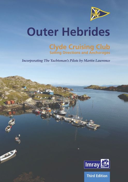
Outer Hebrides
The Clyde Cruising Club’s guide to the Outer Hebrides is a comprehensive companion for small-boat visitors to this unspoilt area with its many secluded anchorages. Coverage begins in Barra Head and stretches northeast to East Lewis and west to the exposed Atlantic coast and the remote islands of the St Kilda group.
This thoroughly revised second edition contains updates to the text, many based on users reports as well as official notices. Many of the plans have also been improved by the inclusion of the latest Antares surveys.
RRP £37.50

Reeds First Aid Handbook
Whether you are sailing, motorboating, pottering around in a dinghy, racing, going fishing offshore or embarking on an ocean crossing, this is the essential pocket-sized guide to first aid you need to have on board.
Aimed specifically at boaters, it covers every medical problem you may encounter on board, from common issues such as seasickness and sunburn to more serious problems such as broken bones and emergencies including heart attacks and strokes. Every problem is graded for its seriousness, indicating whether it is something you can treat yourself that needn’t mean the end of the trip, or whether you should head back to shore or summon help immediately. It guides you in how to make someone comfortable and, in the most serious circumstances, improve their chances of making a full recovery.
Clear, full-colour step by step diagrams illustrate succinct instructions for quick reference. The book also includes a guide on what to include in your on-board first aid kit, which differs depending on where you are going, and how long and how far you will be away from the nearest assistance.
A handy reference to have on board wherever you are going, this book will boost your confidence, help you solve medical problems, and minimise the dangers in emergencies.
RRP £9.99
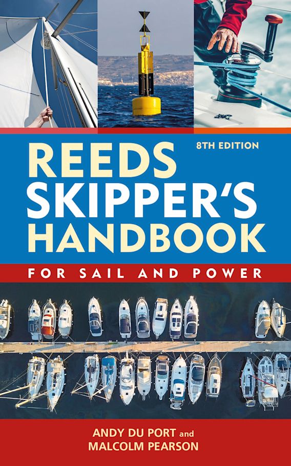
Reeds Skipper’s Handbook, 8th Edition
The Reeds Skipper’s Handbook is the essential pocket-sized reference to everything you need to know at sea, packed with a wide range of information in a concise and quick to read form. A useful aide-memoire for all sailors and powerboaters, it is also frequently recommended by instructors as a revision aid for anyone taking their Day Skipper and Yachtmaster certificates.
Now in its revised and updated 8th edition, it covers:
– Essential navigation skills, manual and electronic
– Tides, tidal streams and curves
– The rules of the road, and buoyage
– Safety and distress
– Communications
– Weather
– Anchoring and mooring
– Sails and wind
– Knots, bends and hitches
– Inland waterways/CEVNI
It also includes handy facts, figures, formulae and tables for instant reference, including an at-a-glance guide to International Port Traffic Signals
RRP £10.99
Due To Be Published

SOLAS Fire Training Manual 4th Edition 2024
Now updated and fully compliant with 2024 SOLAS requirements, and accepted by maritime Administrations worldwide:
- Updated to reflect technological advancements, maritime practices, and global changes since 2017
- Revised sections on extinguishing media, including AFFF foam replacement and lithium-ion vehicle fires.
- Expanded coverage on fire spread, growth, and ventilation practices.
- Added section outlining the functions of Integrated Alarm Monitoring and Control Systems (IAMCS) for enhanced fire response.
- Updated and expanded guidelines on command, control, and fire team responsibilities.
- Expanded Fire Safety Operational Booklet includes updates applicable to various vessel types and reference to the new Industrial Personnel (IP) Code and new SOLAS ch. XV. (both effective July 2024).
- Continued provision for customising the manual to vessel-specific equipment and procedures for compliance.
- 2024 SOLAS Fire Training Manual 4th Edition sections include the following vessel types: Fires in Port, Dangerous Goods & IMDG / EmS Schedules, Vehicle, Special Category & Ro-Ro Spaces, Car-Carrying Vessels, Passenger Vessels, General Cargo (Break Bulk) Vessels, Dry & Bulk Combination Vessels, Container Vessels, Liquefied Gasses in Bulk, Ships using Gases or Other Low-Flashpoint Fuels, Oil Tankers, Chemical Tankers, Tankers – Preventing fire spread to cargo areas, Tankers – Inerting, Purging & Gas-Freeing, Offshore Support Vessels, Mobile Offshore Drilling Units, Special Purpose Ships, & Ships Carrying Industrial Personnel, High Speed Craft, Ship Operating Polar Water, Nuclear Ships & Ships Carrying Radioactive Substances.
These changes reflect the evolving landscape of fire safety in maritime operations. Keeping the manual relevant and effective in addressing emerging challenges and technologies.
Giving the end-user peace of mind that they are up to date on fast-changing regulations and evolving maritime safety practices.
RRP £185.00

East Coast Pilot, 6th Edition
East Coast Pilot has become the bible for cruising sailors for the waters between Great Yarmouth and Ramsgate. Not only does it cover the many harbours, rivers and creeks in a clear and concise manner, it also reveals some of the mysteries of sailing these shallow and shifting coastal waters. Both authors keep their boats on the East Coast and are life-long lovers of the area. They maintain that every time they cast off and take to the water, they learn something new, adding to the considerable wealth of experience which they have passed on enthusiastically over many years.
For clarity and ease of reference the book is laid out in a logical sequence- each estuary, river and port has its own chapter which starts with the key information to get you in to that chosen destination. Box panels give key waypoints, port and harbour contact details, plus information about the main boating facilities a crew could need. Further pages will entice you in as far as the limit of navigation. Essential information is backed up by Imray cartography, the authors’ own sea-level photography giving you a clear view of what you should see, and aerial photographs which offer a useful visual perspective on what lies ahead.
Unique to East Coast Pilot are ‘rolling road’ diagrams to guide the approach. These were introduced to great acclaim in the first edition and show buoyage sequences and tracks to steer into rivers and ports.
RRP £29.50


