South Bank Marine is a trusted supplier of marine navigation products and services, supporting leisure and commercial operators across the UK and worldwide. With many years of maritime experience, we focus on safety, accuracy, and reliability to help you navigate with confidence. We supply official Admiralty Charts and Publications in both paper and electronic formats, alongside paper charts and leading electronic chart systems. We also stock a wide range of navigation instruments, chart updating tools, national and international code flags, safety signs, and marine posters. South Bank Marine delivers reliable products, expert advice, and dedicated customer support.
Welcome to South Bank Marine
Worldwide Navigation Services
South Bank Marine – Marine Navigation Specialists

Shop Categories
Latest Releases

IMDG Code 2026 Edition (inc Amdt 43-26) Book (2 Vols) - DIGITAL VERSION ONLY
IMDG Code 2026 Edition (inc Amdt 43-26) Book (2 Vols)
Since it was first published in 1965, the Code has undergone many changes, in both format and content, in order to keep up with the rapid expansion of the shipping industry.
Amendment 43-26 includes updates to the provisions for the carriage of batteries and clearer criteria for the transport of vehicles, including electric vehicles. It also introduces new special provisions for vehicle safety assessment (SP 980), revisions to existing special provisions SP 961 and SP 962, new UN entries for lithium and sodium-ion battery systems, updates to segregation distances for radioactive cargo, and consequential amendments to the EmS Guide. It was adopted by the International Maritime Organization’s Maritime Safety Committee at its one hundred and eleventh session in May 2026 and is mandatory from 1 January 2028 but may be applied by Administrations in whole or in part on a voluntary basis from 1 January 2027.
The provisions of the Code should be of interest to maritime administrations, shipping companies, manufacturers, packers, shippers, feeder services such as road and rail, and port authorities.
Since it was first published in 1965, the Code has undergone many changes, in both format and content, in order to keep up with the rapid expansion of the shipping industry.
Amendment 43-26 includes updates to the provisions for the carriage of batteries and clearer criteria for the transport of vehicles, including electric vehicles. It also introduces new special provisions for vehicle safety assessment (SP 980), revisions to existing special provisions SP 961 and SP 962, new UN entries for lithium and sodium-ion battery systems, updates to segregation distances for radioactive cargo, and consequential amendments to the EmS Guide. It was adopted by the International Maritime Organization’s Maritime Safety Committee at its one hundred and eleventh session in May 2026 and is mandatory from 1 January 2028 but may be applied by Administrations in whole or in part on a voluntary basis from 1 January 2027.
The provisions of the Code should be of interest to maritime administrations, shipping companies, manufacturers, packers, shippers, feeder services such as road and rail, and port authorities.
RRP: £210.00
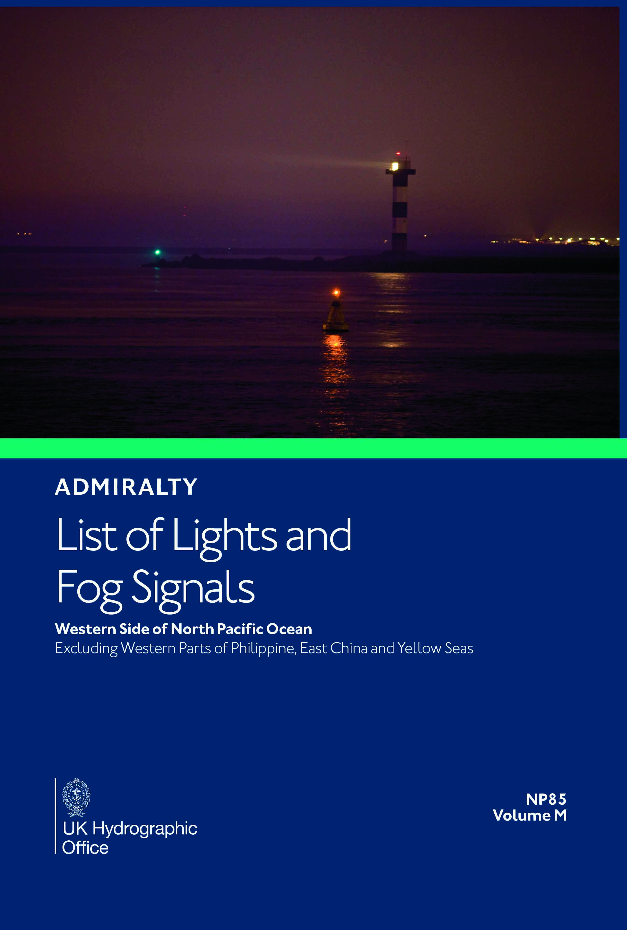
NP85 List of Lights and Fog Signals Vol M
Admiralty Chart NP85 List of Lights and Fog Signals Vol M
Admiralty List of Lights and Fog Signals Volume M: Western side of North Pacific Ocean excluding western parts of Philippines, East China and Yellow Seas.
Admiralty List of Lights and Fog Signals Volume M: Western side of North Pacific Ocean excluding western parts of Philippines, East China and Yellow Seas.
RRP: £43.56
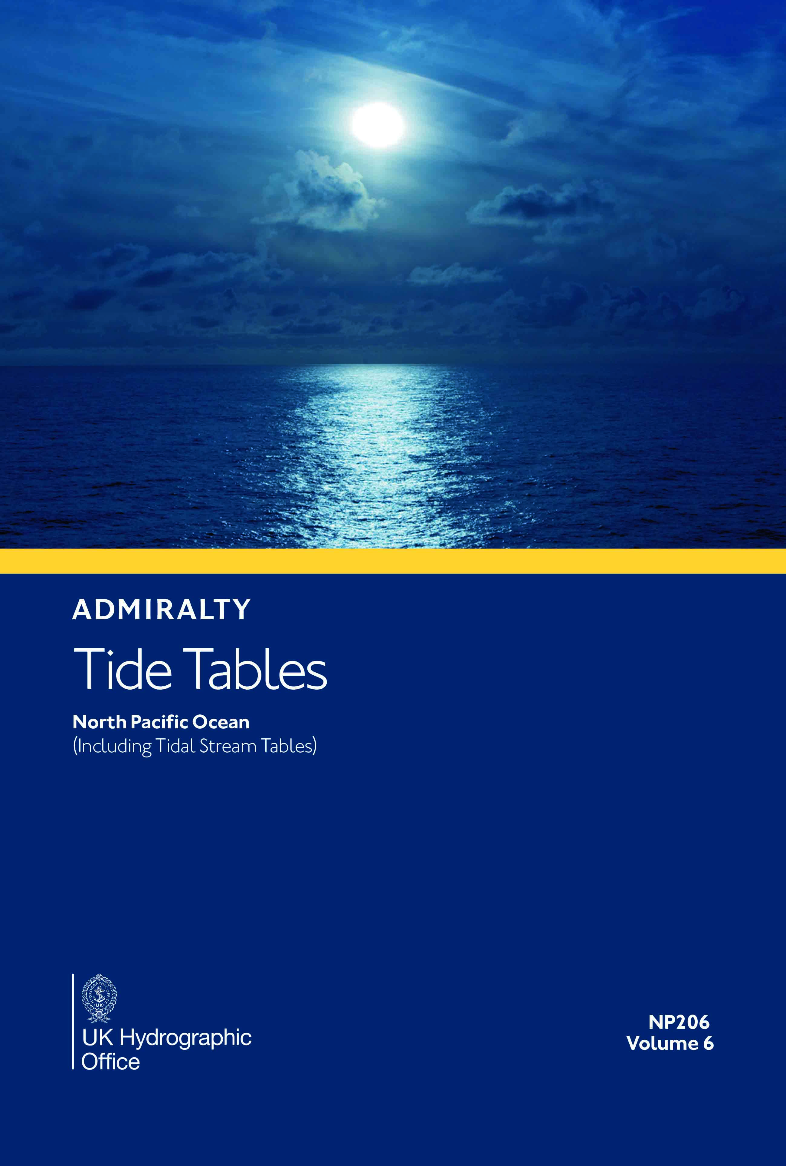
NP206 Tide Tables Volume 6 2027 Edition
Admiralty Publication NP206 Tide Tables Volume 6 2027
Tide Tables for North Pacific Ocean (including Tidal Stream Tables)
Tide Tables for North Pacific Ocean (including Tidal Stream Tables)
RRP: £43.56
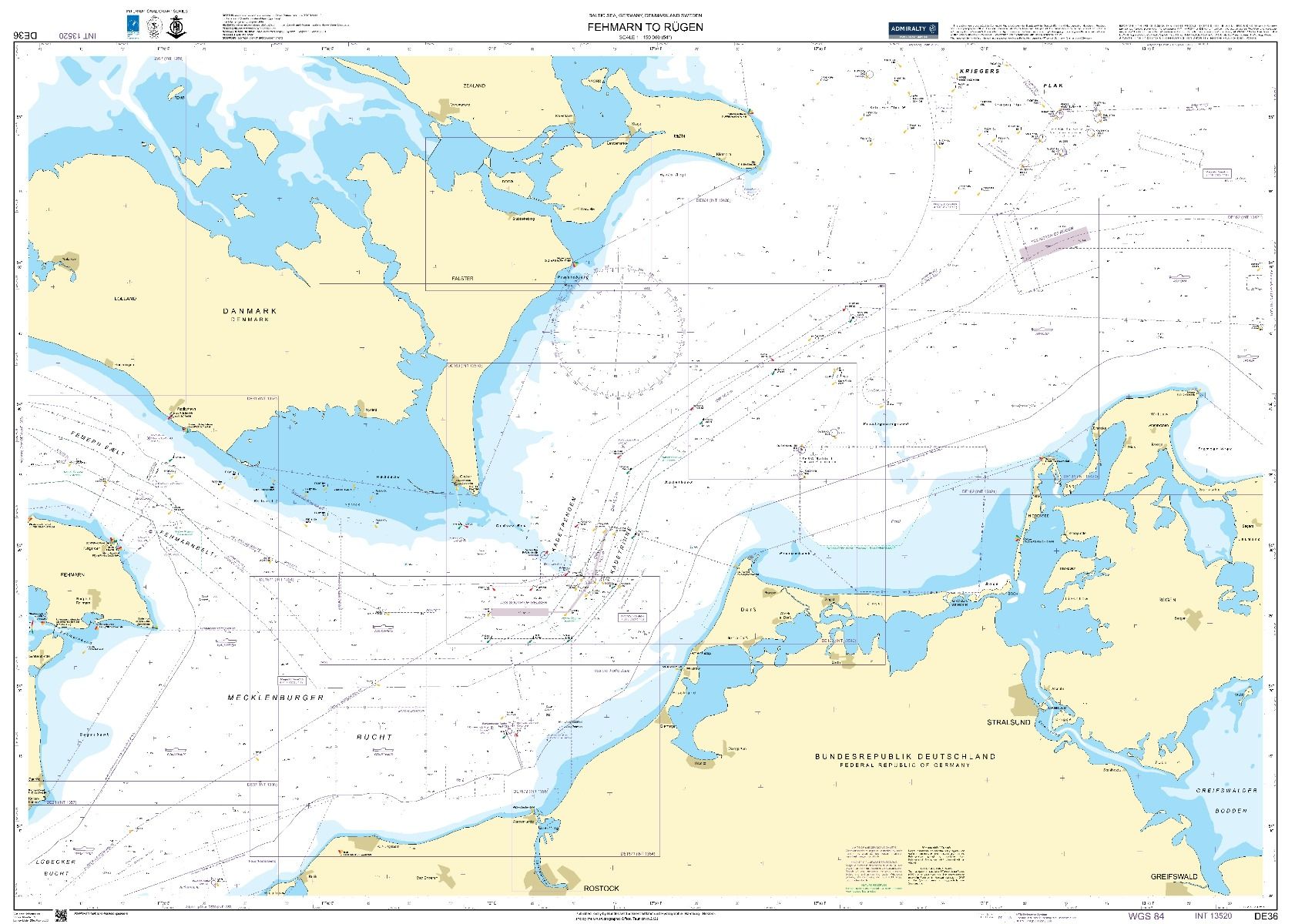
DE36 - Germany Denmark and Sweden Fehmarn to Rugen
Chart DE36 Germany Denmark and Sweden Fehman to Rugen
All our standard charts are corrected to the latest Notices to Mariners and available as POD.
Replaces charts 2944 and 2945.
All our standard charts are corrected to the latest Notices to Mariners and available as POD.
Replaces charts 2944 and 2945.
RRP: £43.47
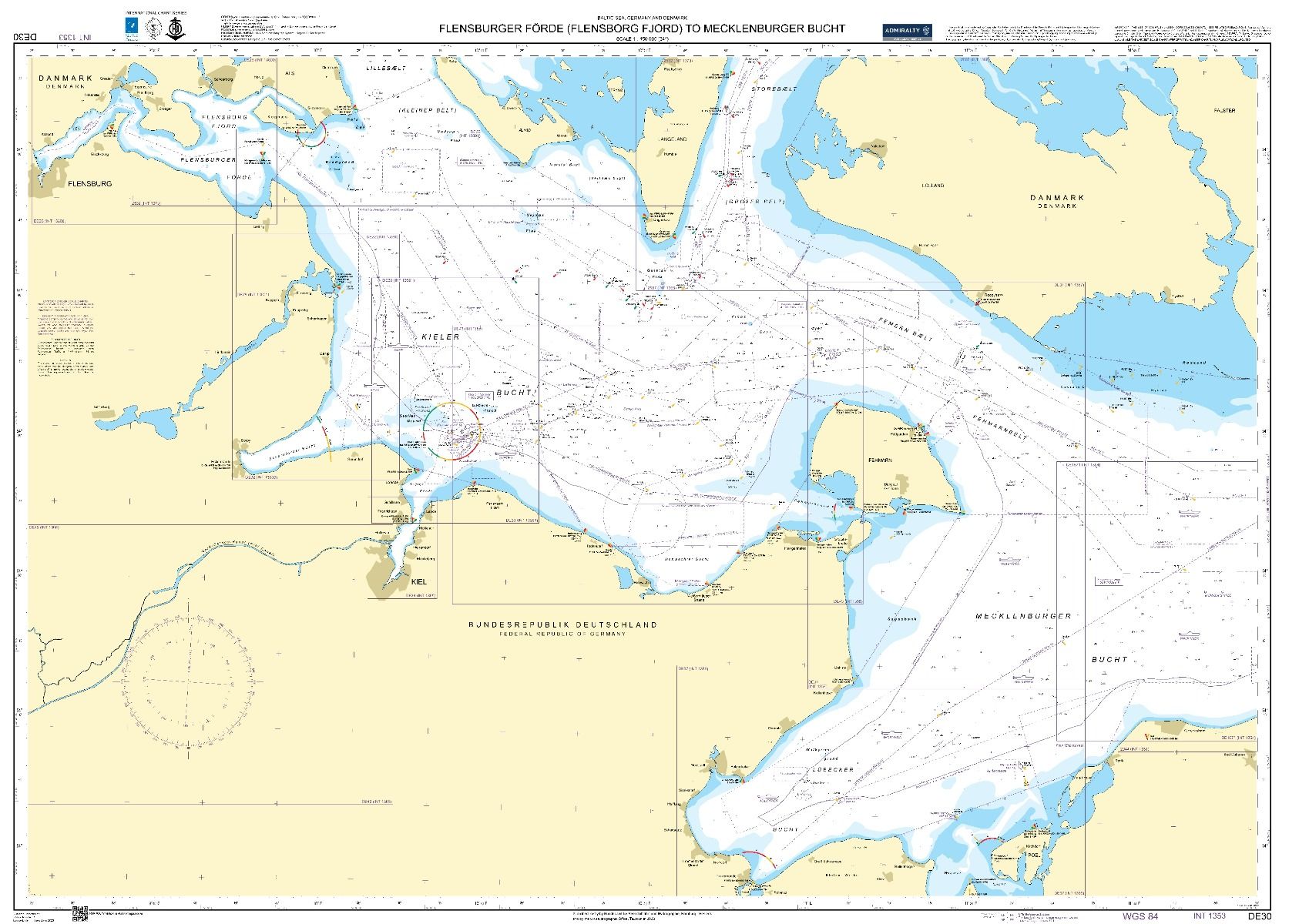
DE30 - Flensburger Forde (Flensborg Fjord) to Mecklenburger Bucht
Admiralty Chart DE30 Flensburger Forde (Flensborg Fjord) to Mecklenburger Bucht
All our standard charts are corrected to the latest Notice to Mariners and available via POD.
All our standard charts are corrected to the latest Notice to Mariners and available via POD.
RRP: £43.47
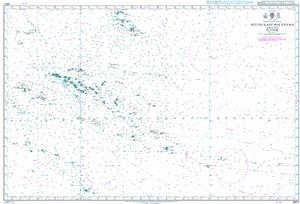
4607 - Southeast Polynesia
Admiralty Chart 4607 Southeast Polynesia
All our standard charts are corrected to the latest Notices to Mariners and available as POD.
All our standard charts are corrected to the latest Notices to Mariners and available as POD.
RRP: £43.47
3636 - Portugal West Coast Cabo Espichel to Cabo de Sao Vicente
Chart 3636 Portugal West Coast Cabo Espichel to Cabo de Sao Vicente
All our standard charts are corrected to the latest Notices to Mariners and available as POD.
All our standard charts are corrected to the latest Notices to Mariners and available as POD.
RRP: £43.47
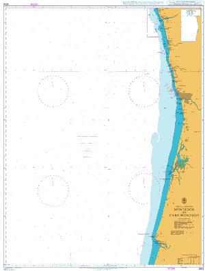
3634 - Portugal West Coast Montedor to Cabo Mondego
Admiralty Chart 3634 Portugal West Coast Montedor to Cabo Mondego
All our standard charts are corrected to the latest Notices to Mariners and available as POD.
All our standard charts are corrected to the latest Notices to Mariners and available as POD.
RRP: £43.47
3633 - Islas Sisargas to Rio Mino
Admiralty Chart 3633 Islas Sisargas to Rio Mino
All our standard charts are corrected to the latest Notices to Mariners and available as POD.
All our standard charts are corrected to the latest Notices to Mariners and available as POD.
RRP: £43.47
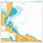
3403 - Cap Afrique to Misratah
Admiralty Chart 3403 Cap Afrique to Misratah
All our standard charts are corrected to the latest Notices to Mariners and available as POD.
All our standard charts are corrected to the latest Notices to Mariners and available as POD.
RRP: £43.47
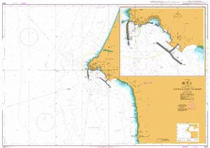
3224 - Approaches to Sines
Admiralty Chart 3224 Approaches to Sines
All our standard charts are corrected to the latest Notices to Mariners and available as POD.
All our standard charts are corrected to the latest Notices to Mariners and available as POD.
RRP: £43.47
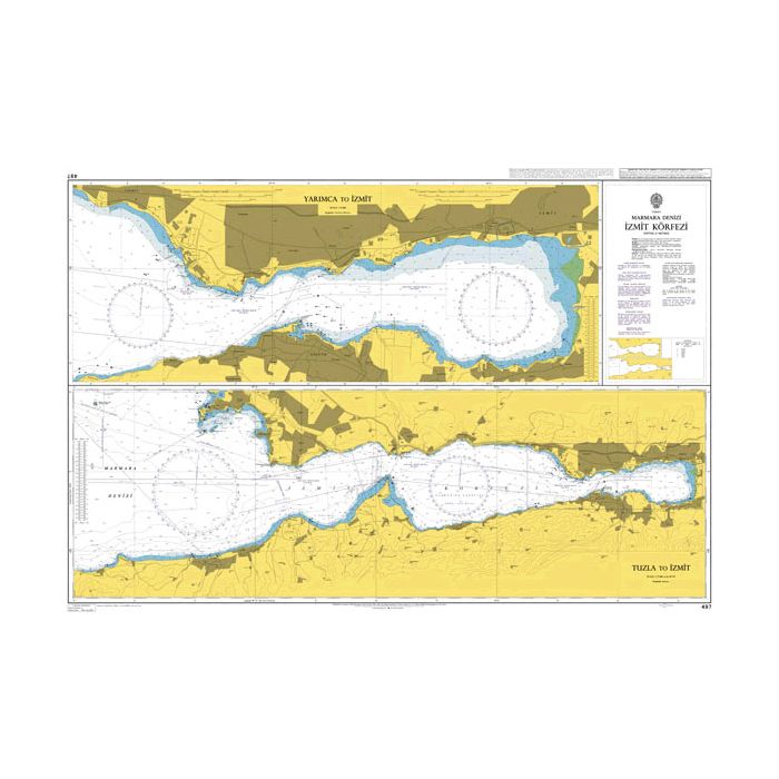
497 - Turkey Marmara Denizi Izmit Korfezi
Admiralty Chart 497 Turkey Marmara Denizi Izmit Korfezi
All our standard charts are corrected to the latest Notices to Mariners and available as POD.
All our standard charts are corrected to the latest Notices to Mariners and available as POD.
RRP: £43.47
IMDG Code 2026 Edition (inc Amdt 43-26) Book (2 Vols) - DIGITAL VERSION ONLY
IMDG Code 2026 Edition (inc Amdt 43-26) Book (2 Vols)
Since it was first published in 1965, the Code has undergone many changes, in both format and content, in order to keep up with the rapid expansion of the shipping industry.
Amendment 43-26 includes updates to the provisions for the carriage of batteries and clearer criteria for the transport of vehicles, including electric vehicles. It also introduces new special provisions for vehicle safety assessment (SP 980), revisions to existing special provisions SP 961 and SP 962, new UN entries for lithium and sodium-ion battery systems, updates to segregation distances for radioactive cargo, and consequential amendments to the EmS Guide. It was adopted by the International Maritime Organization’s Maritime Safety Committee at its one hundred and eleventh session in May 2026 and is mandatory from 1 January 2028 but may be applied by Administrations in whole or in part on a voluntary basis from 1 January 2027.
The provisions of the Code should be of interest to maritime administrations, shipping companies, manufacturers, packers, shippers, feeder services such as road and rail, and port authorities.
Since it was first published in 1965, the Code has undergone many changes, in both format and content, in order to keep up with the rapid expansion of the shipping industry.
Amendment 43-26 includes updates to the provisions for the carriage of batteries and clearer criteria for the transport of vehicles, including electric vehicles. It also introduces new special provisions for vehicle safety assessment (SP 980), revisions to existing special provisions SP 961 and SP 962, new UN entries for lithium and sodium-ion battery systems, updates to segregation distances for radioactive cargo, and consequential amendments to the EmS Guide. It was adopted by the International Maritime Organization’s Maritime Safety Committee at its one hundred and eleventh session in May 2026 and is mandatory from 1 January 2028 but may be applied by Administrations in whole or in part on a voluntary basis from 1 January 2027.
The provisions of the Code should be of interest to maritime administrations, shipping companies, manufacturers, packers, shippers, feeder services such as road and rail, and port authorities.
RRP: £210.00
NP85 List of Lights and Fog Signals Vol M
Admiralty Chart NP85 List of Lights and Fog Signals Vol M
Admiralty List of Lights and Fog Signals Volume M: Western side of North Pacific Ocean excluding western parts of Philippines, East China and Yellow Seas.
Admiralty List of Lights and Fog Signals Volume M: Western side of North Pacific Ocean excluding western parts of Philippines, East China and Yellow Seas.
RRP: £43.56
NP206 Tide Tables Volume 6 2027 Edition
Admiralty Publication NP206 Tide Tables Volume 6 2027
Tide Tables for North Pacific Ocean (including Tidal Stream Tables)
Tide Tables for North Pacific Ocean (including Tidal Stream Tables)
RRP: £43.56
DE36 - Germany Denmark and Sweden Fehmarn to Rugen
Chart DE36 Germany Denmark and Sweden Fehman to Rugen
All our standard charts are corrected to the latest Notices to Mariners and available as POD.
Replaces charts 2944 and 2945.
All our standard charts are corrected to the latest Notices to Mariners and available as POD.
Replaces charts 2944 and 2945.
RRP: £43.47
DE30 - Flensburger Forde (Flensborg Fjord) to Mecklenburger Bucht
Admiralty Chart DE30 Flensburger Forde (Flensborg Fjord) to Mecklenburger Bucht
All our standard charts are corrected to the latest Notice to Mariners and available via POD.
All our standard charts are corrected to the latest Notice to Mariners and available via POD.
RRP: £43.47
4607 - Southeast Polynesia
Admiralty Chart 4607 Southeast Polynesia
All our standard charts are corrected to the latest Notices to Mariners and available as POD.
All our standard charts are corrected to the latest Notices to Mariners and available as POD.
RRP: £43.47
3636 - Portugal West Coast Cabo Espichel to Cabo de Sao Vicente
Chart 3636 Portugal West Coast Cabo Espichel to Cabo de Sao Vicente
All our standard charts are corrected to the latest Notices to Mariners and available as POD.
All our standard charts are corrected to the latest Notices to Mariners and available as POD.
RRP: £43.47
3634 - Portugal West Coast Montedor to Cabo Mondego
Admiralty Chart 3634 Portugal West Coast Montedor to Cabo Mondego
All our standard charts are corrected to the latest Notices to Mariners and available as POD.
All our standard charts are corrected to the latest Notices to Mariners and available as POD.
RRP: £43.47
3633 - Islas Sisargas to Rio Mino
Admiralty Chart 3633 Islas Sisargas to Rio Mino
All our standard charts are corrected to the latest Notices to Mariners and available as POD.
All our standard charts are corrected to the latest Notices to Mariners and available as POD.
RRP: £43.47
3403 - Cap Afrique to Misratah
Admiralty Chart 3403 Cap Afrique to Misratah
All our standard charts are corrected to the latest Notices to Mariners and available as POD.
All our standard charts are corrected to the latest Notices to Mariners and available as POD.
RRP: £43.47
3224 - Approaches to Sines
Admiralty Chart 3224 Approaches to Sines
All our standard charts are corrected to the latest Notices to Mariners and available as POD.
All our standard charts are corrected to the latest Notices to Mariners and available as POD.
RRP: £43.47
497 - Turkey Marmara Denizi Izmit Korfezi
Admiralty Chart 497 Turkey Marmara Denizi Izmit Korfezi
All our standard charts are corrected to the latest Notices to Mariners and available as POD.
All our standard charts are corrected to the latest Notices to Mariners and available as POD.
RRP: £43.47
Latest News
August Newsletter
April 28, 2026
Check out our August newsletter for all new edition publications just published and publications due to be published.
If you would like more information then please contact us on 01472 361137 or sales@southbankmarine.com
Admiralty Publications Check List
February 25, 2026
Admiralty Publication List
A check list of the latest titles of Admiralty Publications and edition dates along with any new editions due to be released and their pricing up to date as of Week 40/26
Welcome to Our New Website
February 16, 2026
Welcome to our new website, and thank you for visiting. We’re delighted to introduce a fresh, easy-to-use space where you can learn more about who we are, what we do, and how we can help you. Our goal is to provide clear information, useful resources, and a friendly experience that reflects our commitment to quality service and customer care. Please take a look around, and if you have any questions or would like to get in touch, we’re always happy to help.
Sign up for our Newsletter
Don't miss out — sign up for our newsletter and get exclusive offers and updates delivered directly to you.
Brands