South Bank Marine is a trusted supplier of marine navigation products and services, supporting leisure and commercial operators across the UK and worldwide. With many years of maritime experience, we focus on safety, accuracy, and reliability to help you navigate with confidence. We supply official Admiralty Charts and Publications in both paper and electronic formats, alongside paper charts and leading electronic chart systems. We also stock a wide range of navigation instruments, chart updating tools, national and international code flags, safety signs, and marine posters. South Bank Marine delivers reliable products, expert advice, and dedicated customer support.
Welcome to South Bank Marine
Worldwide Navigation Services
South Bank Marine – Marine Navigation Specialists

Shop Categories
Latest Releases
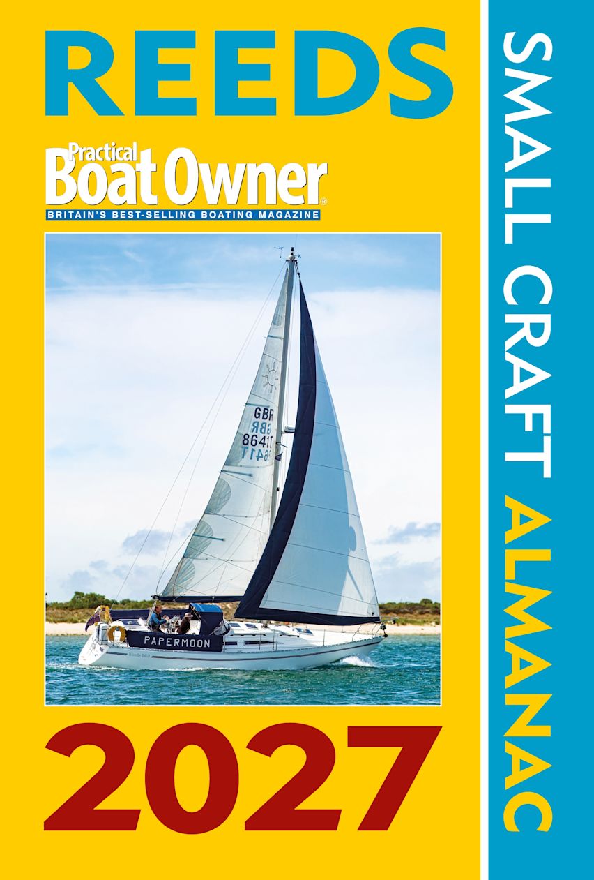
Reeds PBO Small Craft Almanac 2027 Edition - NEW EDITION DUE TO BE PUBLISHED MID AUGUST (PRE ORDER ONLY)
Reeds PBO Small Craft Almanac 2027 Edition
If Reeds Almanac is the 'Bible of Sailing' then this is the 'Book of Prayer' - Yachting Monthly
The essential navigational guide for all of the UK and Ireland, as well as the North Atlantic coastline from Denmark to the Gironde, in a practical, handy format.
Streamlined to focus on tidal data (tide tables, tidal streams and tidal curves), the Small Craft Almanac is meticulously researched and fully updated for the 2027 edition, and includes a huge amount of information of value to small craft navigators. It also incorporates secondary port differences; 2,500+ waypoints; radio data; light recognition; weather information; principal lights; IALA buoyage; international codes and flags; sun/moon rise/set times, and guidance for handling emergencies.
Presented with quick-referencing in mind for easy on-board use, the PBO Small Craft Almanac represents excellent value for money for those who don't need the more comprehensive marina data, passage information and chartlets of the full Reeds Almanac
RRP: £25.00
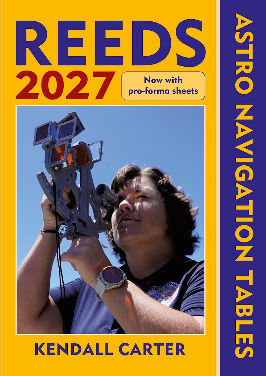
Reeds Astro Navigation Tables 2027 Edition - NEW EDITION DUE TO BE PUBLISHED MID AUGUST (PRE ORDERS ONLY)
Reeds Astro Navigation Tables 2027 Edition
The established book of annual astro-navigation tables compiled specifically for the needs of boaters.
This superbly compact almanac and sight reduction tables contains information the ocean-going sailor needs in order to navigate by the sun, moon, stars and planets, using tables devised by practical ocean navigators. This book, together with a sextant, will help sailors to navigate confidently and safely when out of the sight of land.
This 2027 edition is completely up to date and continues to feature the well-received additions of the past few years, including forms to help determine True Altitude (for the sun, stars and planets), Calculated Altitude (using the versine formula) and Azimuth (using the ABC Tables), as well as a pro forma for calculating Intercept. These tables, along with clear and easy to use star ID charts, mean you can resolve any calculation you're ever going to need. There is also an introductory section on practising ashore, with helpful worked examples as an aide memoire, and plenty of space for making notes and calculations.
While they should not be relied upon as anyone's sole means of navigation, being so easy to use, Reeds tables encourage active navigation and a better understanding by sailors of where they have been and where to go next – rewarding in itself and essential in the event of GPS failure.
RRP: £32.00
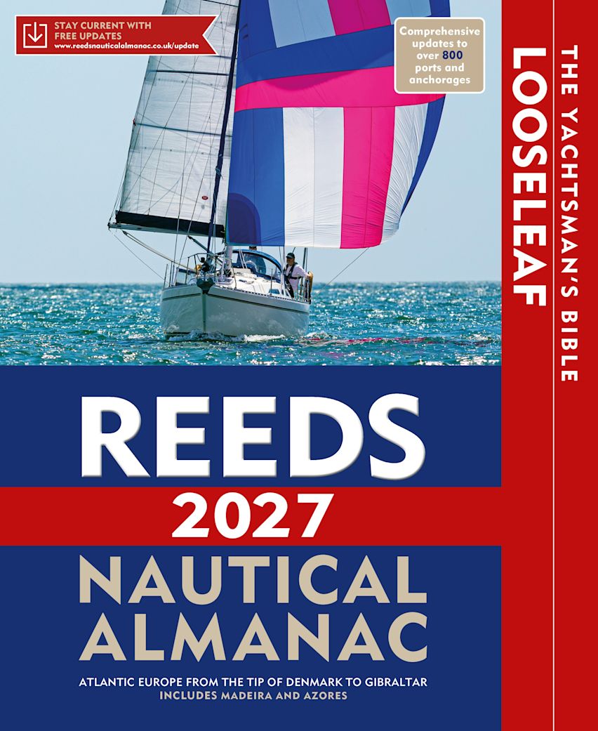
Reeds Nautical Almanac Looseleaf 2027 Edition (Inc Binder) - NEW EDITION DUE TO BE PUBLISHED MID AUGUST (PRE ORDERS ONLY)
Reeds Nautical Almanac Looseleaf 2027 Edition (Inc Binder)
All the information required to navigate Atlantic coastal waters around the UK, Ireland, Channel Islands, and the western European coastline from the tip of Denmark right down to Gibraltar, including the Azores and Madeira.
Recommended by the RYA, RNLI and Coastguard, this is a versatile system that combines almanac and pilotage information in a convenient looseleaf form. This unique format, bound inside a durable binder which stays open on the chart table, lets the user tailor the Almanac to their needs by personalising the contents supplied with whatever information they may want to add or take out. Information is quick and easy to access, whilst allowing the navigator to refresh it with the annual update pack.
Includes 700 harbour chartlets, harbour facilities, tide tables and streams, 7,500 waypoints, international codes and flags, weather, distance tables, passage advice, area planning charts, rules of the road, radio information, communications, safety, mayday and distress procedures, and documentation and customs. The 2027 edition is updated throughout, containing over 45,000 changes, and includes a free Reeds Marina Guide.
RRP: £59.99

Reeds Eastern Almanac 2027 Edition - NEW EDITION DUE TO BE PUBLISHED MID AUGUST (PRE ORDERS ONLY)
Reeds Eastern Almanac 2027 Edition
The complete guide for North Sea mariners, offering ready access to essential navigation information covering the UK east coast from Ramsgate to Cape Wrath including the Shetland and Orkney Islands, and from Niewport to Delfzjil and Helgoland.
Completely updated for 2027, topics include seamanship, pilotage, tide tables, safety procedures, navigation tips, radio, lights and waypoints. It also includes weather forecast information around UK and European waters, communications, Mayday and distress procedures. The large type and clear layout, including full colour harbour plans and diagrams throughout, makes information easy to read even in adverse conditions. This handy volume is ideal for anyone cruising the North Sea.
Includes a free Reeds Marina Guide.
RRP: £42.99
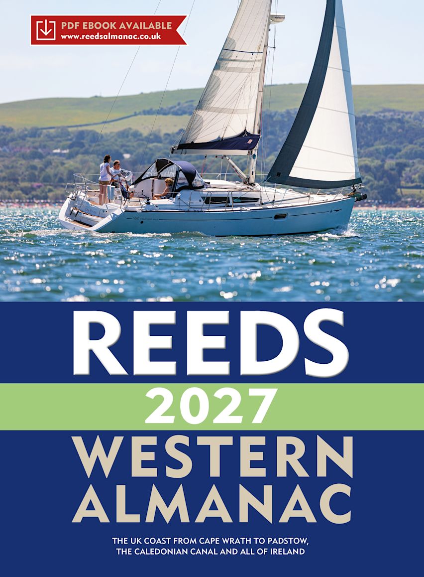
Reeds Western Almanac 2027 Edition - NEW EDITION DUE TO BE PUBLISHED MID AUGUST (PRE ORDERS ONLY)
Reeds Western Almanac 2027 Edition
Essential navigation information covering the British coastline from Cape Wrath to Padstow as well as the whole of Ireland, also providing pilotage information for the coasts of Wales, Western Scotland, Ireland and Western England.
Completely updated for 2027, it offers ready access to essential navigation information by virtue of its clear layout and user friendly format. Topics include seamanship, pilotage, tide tables, safety procedures, navigation tips, radio, lights, waypoints, weather forecast information, communications, Mayday and distress procedures. The large type size and clear layout, including full colour harbour plans and diagrams throughout, makes information easy to read even in adverse conditions. It is the complete guide for both Irish and Welsh mariners as well as those cruising the UK west coast.
Includes a free Reeds Marina Guide.
RRP: £42.99
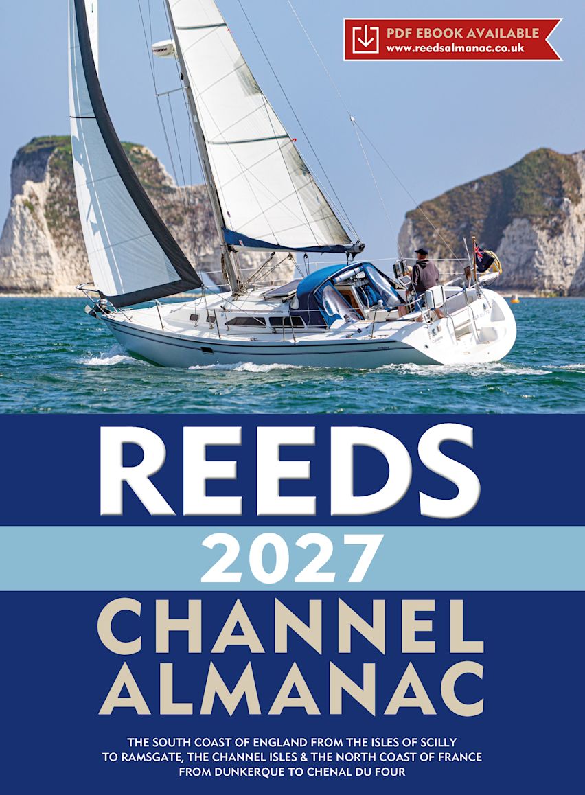
Reeds Channel Almanac 2027 Edition - NEW EDITION DUE TO BE PUBLISHED MID AUGUST (PRE ORDERS ONLY)
Reeds Channel Almanac 2027 Edition
Essential navigation and pilotage information covering the south coast of England from the Scilly Isles to Dover, the Channel Islands and northern France from Calais to L'Aberildut.
Completely updated for 2027, topics include seamanship, pilotage, tide tables, safety procedures, navigation tips, radio, lights and waypoints. It also includes weather forecast information, communications, Mayday and distress procedures - in fact everything the cruising yachtsman needs to know. The large type size and clear layout, including full colour harbour plans and diagrams throughout, makes information easy to read even in adverse conditions. This handy volume is ideal for anyone cruising the length of the English Channel.
Includes a free Reeds Marina Guide.
RRP: £44.99
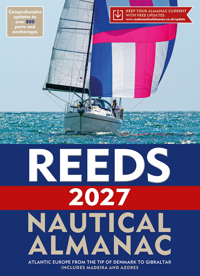
Reeds Nautical Almanac 2027 Edition - NEW EDITION DUE TO BE PUBLISHED MID AUGUST (PRE ORDERS ONLY)
Reeds Nautical Almanac 2027 Edition
The indispensable trusted annual compendium of navigational data for yachtsmen and motorboaters.
Known as the Yachtsman's Bible, Reeds provides all the information required to navigate Atlantic coastal waters around the whole of the UK, Ireland, Channel Islands and the entire European coastline from the tip of Denmark right down to Gibraltar, Northern Morocco, the Azores and Madeira.
The 2027 Almanac continues the tradition of year-on-year improvement and meticulous presentation of all the data required for safe navigation. Now with an improved layout for easier reference and with over 45,000 annual changes, it is regarded as the essential almanac for anyone going to sea, and is recommended by the RYA, RNLI and Coastguard, and used in training courses all around the UK and Europe.
The 2027 edition is updated throughout and includes: 700 harbour chartlets; tide tables and tidal streams; buoyage and lights; 7,500 waypoints; invaluable passage notes; distance tables; radio, weather and safety information; and a first aid section. Also includes a free Reeds Marina Guide.
RRP: £54.99
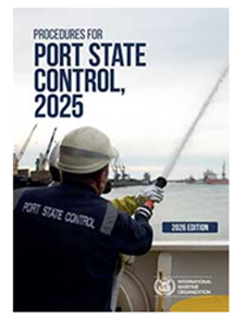
Procedures for Port State Control 2026
Procedures for Port State Control 2026 Edition
Port State control inspections contribute to ensuring that global maritime standards are being implemented consistently on all ships. This publication provides guidance for port State control officers on the conduct of inspections to support harmonization in the way inspections are carried out worldwide.
This edition includes amendments to Guidelines for the detention of ships (appendix 2) and Guidelines for port State control under MARPOL Annex VI (appendix 18), and new Guidelines for inspection of anti-fouling systems on ships (appendix 19).
RRP: £45.00

NP234(B) Cumulative List of Notices to Mariners
Publication NP234(B) Cumulative List of Notices to Mariners
June 2026
June 2026
RRP: £7.29
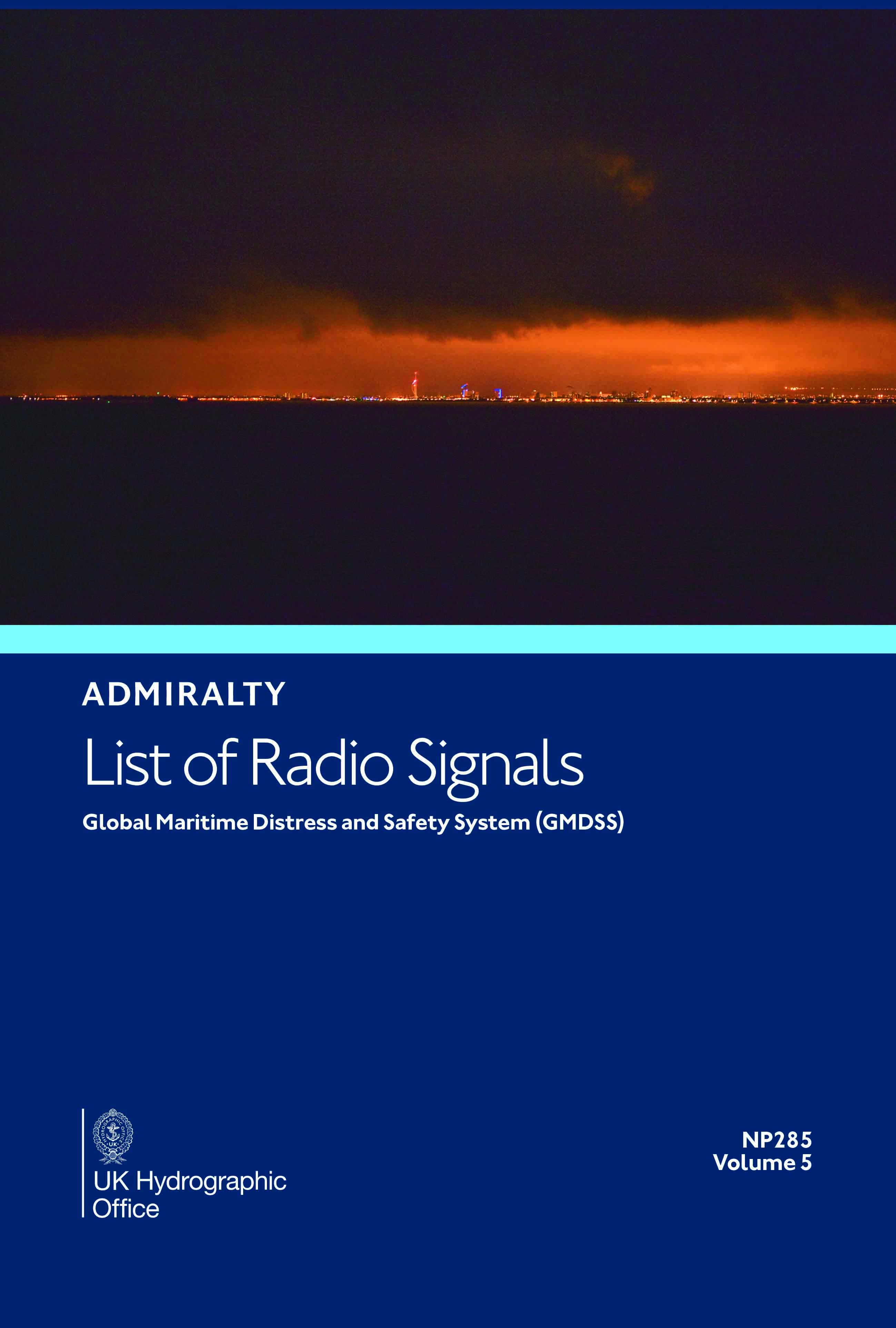
NP285 - Admiralty List of Radio Signals Volume 5 (GMDSS)
NP285 Admiralty List of Radio Signals Volume 5 (GMDSS)
Global Maritime Distress and Safety System (GMDSS)
Global Maritime Distress and Safety System (GMDSS)
RRP: £65.43
3233 - Taiwan East Coast Eluanbi to Taitung Port
Admiralty Chart 3233 Taiwan East Coast Eluanbi to Taitung Port
All our standard charts are corrected to the latest Notices to Mariners and available as POD.
All our standard charts are corrected to the latest Notices to Mariners and available as POD.
RRP: £43.47
3232 - Taiwan West Coast Eluanbi to Kaohsiung Port
Admiralty Chart 3232 TTaiwan West Coast Eluanbi to Kaohsiung Port
All our standard charts are corrected to the latest Notices to Mariners and available as POD.
All our standard charts are corrected to the latest Notices to Mariners and available as POD.
RRP: £43.47
Reeds PBO Small Craft Almanac 2027 Edition - NEW EDITION DUE TO BE PUBLISHED MID AUGUST (PRE ORDER ONLY)
Reeds PBO Small Craft Almanac 2027 Edition
If Reeds Almanac is the 'Bible of Sailing' then this is the 'Book of Prayer' - Yachting Monthly
The essential navigational guide for all of the UK and Ireland, as well as the North Atlantic coastline from Denmark to the Gironde, in a practical, handy format.
Streamlined to focus on tidal data (tide tables, tidal streams and tidal curves), the Small Craft Almanac is meticulously researched and fully updated for the 2027 edition, and includes a huge amount of information of value to small craft navigators. It also incorporates secondary port differences; 2,500+ waypoints; radio data; light recognition; weather information; principal lights; IALA buoyage; international codes and flags; sun/moon rise/set times, and guidance for handling emergencies.
Presented with quick-referencing in mind for easy on-board use, the PBO Small Craft Almanac represents excellent value for money for those who don't need the more comprehensive marina data, passage information and chartlets of the full Reeds Almanac
If Reeds Almanac is the 'Bible of Sailing' then this is the 'Book of Prayer' - Yachting Monthly
The essential navigational guide for all of the UK and Ireland, as well as the North Atlantic coastline from Denmark to the Gironde, in a practical, handy format.
Streamlined to focus on tidal data (tide tables, tidal streams and tidal curves), the Small Craft Almanac is meticulously researched and fully updated for the 2027 edition, and includes a huge amount of information of value to small craft navigators. It also incorporates secondary port differences; 2,500+ waypoints; radio data; light recognition; weather information; principal lights; IALA buoyage; international codes and flags; sun/moon rise/set times, and guidance for handling emergencies.
Presented with quick-referencing in mind for easy on-board use, the PBO Small Craft Almanac represents excellent value for money for those who don't need the more comprehensive marina data, passage information and chartlets of the full Reeds Almanac
RRP: £25.00
Reeds Astro Navigation Tables 2027 Edition - NEW EDITION DUE TO BE PUBLISHED MID AUGUST (PRE ORDERS ONLY)
Reeds Astro Navigation Tables 2027 Edition
The established book of annual astro-navigation tables compiled specifically for the needs of boaters.
This superbly compact almanac and sight reduction tables contains information the ocean-going sailor needs in order to navigate by the sun, moon, stars and planets, using tables devised by practical ocean navigators. This book, together with a sextant, will help sailors to navigate confidently and safely when out of the sight of land.
This 2027 edition is completely up to date and continues to feature the well-received additions of the past few years, including forms to help determine True Altitude (for the sun, stars and planets), Calculated Altitude (using the versine formula) and Azimuth (using the ABC Tables), as well as a pro forma for calculating Intercept. These tables, along with clear and easy to use star ID charts, mean you can resolve any calculation you're ever going to need. There is also an introductory section on practising ashore, with helpful worked examples as an aide memoire, and plenty of space for making notes and calculations.
While they should not be relied upon as anyone's sole means of navigation, being so easy to use, Reeds tables encourage active navigation and a better understanding by sailors of where they have been and where to go next – rewarding in itself and essential in the event of GPS failure.
The established book of annual astro-navigation tables compiled specifically for the needs of boaters.
This superbly compact almanac and sight reduction tables contains information the ocean-going sailor needs in order to navigate by the sun, moon, stars and planets, using tables devised by practical ocean navigators. This book, together with a sextant, will help sailors to navigate confidently and safely when out of the sight of land.
This 2027 edition is completely up to date and continues to feature the well-received additions of the past few years, including forms to help determine True Altitude (for the sun, stars and planets), Calculated Altitude (using the versine formula) and Azimuth (using the ABC Tables), as well as a pro forma for calculating Intercept. These tables, along with clear and easy to use star ID charts, mean you can resolve any calculation you're ever going to need. There is also an introductory section on practising ashore, with helpful worked examples as an aide memoire, and plenty of space for making notes and calculations.
While they should not be relied upon as anyone's sole means of navigation, being so easy to use, Reeds tables encourage active navigation and a better understanding by sailors of where they have been and where to go next – rewarding in itself and essential in the event of GPS failure.
RRP: £32.00
Reeds Nautical Almanac Looseleaf 2027 Edition (Inc Binder) - NEW EDITION DUE TO BE PUBLISHED MID AUGUST (PRE ORDERS ONLY)
Reeds Nautical Almanac Looseleaf 2027 Edition (Inc Binder)
All the information required to navigate Atlantic coastal waters around the UK, Ireland, Channel Islands, and the western European coastline from the tip of Denmark right down to Gibraltar, including the Azores and Madeira.
Recommended by the RYA, RNLI and Coastguard, this is a versatile system that combines almanac and pilotage information in a convenient looseleaf form. This unique format, bound inside a durable binder which stays open on the chart table, lets the user tailor the Almanac to their needs by personalising the contents supplied with whatever information they may want to add or take out. Information is quick and easy to access, whilst allowing the navigator to refresh it with the annual update pack.
Includes 700 harbour chartlets, harbour facilities, tide tables and streams, 7,500 waypoints, international codes and flags, weather, distance tables, passage advice, area planning charts, rules of the road, radio information, communications, safety, mayday and distress procedures, and documentation and customs. The 2027 edition is updated throughout, containing over 45,000 changes, and includes a free Reeds Marina Guide.
All the information required to navigate Atlantic coastal waters around the UK, Ireland, Channel Islands, and the western European coastline from the tip of Denmark right down to Gibraltar, including the Azores and Madeira.
Recommended by the RYA, RNLI and Coastguard, this is a versatile system that combines almanac and pilotage information in a convenient looseleaf form. This unique format, bound inside a durable binder which stays open on the chart table, lets the user tailor the Almanac to their needs by personalising the contents supplied with whatever information they may want to add or take out. Information is quick and easy to access, whilst allowing the navigator to refresh it with the annual update pack.
Includes 700 harbour chartlets, harbour facilities, tide tables and streams, 7,500 waypoints, international codes and flags, weather, distance tables, passage advice, area planning charts, rules of the road, radio information, communications, safety, mayday and distress procedures, and documentation and customs. The 2027 edition is updated throughout, containing over 45,000 changes, and includes a free Reeds Marina Guide.
RRP: £59.99
Reeds Eastern Almanac 2027 Edition - NEW EDITION DUE TO BE PUBLISHED MID AUGUST (PRE ORDERS ONLY)
Reeds Eastern Almanac 2027 Edition
The complete guide for North Sea mariners, offering ready access to essential navigation information covering the UK east coast from Ramsgate to Cape Wrath including the Shetland and Orkney Islands, and from Niewport to Delfzjil and Helgoland.
Completely updated for 2027, topics include seamanship, pilotage, tide tables, safety procedures, navigation tips, radio, lights and waypoints. It also includes weather forecast information around UK and European waters, communications, Mayday and distress procedures. The large type and clear layout, including full colour harbour plans and diagrams throughout, makes information easy to read even in adverse conditions. This handy volume is ideal for anyone cruising the North Sea.
Includes a free Reeds Marina Guide.
The complete guide for North Sea mariners, offering ready access to essential navigation information covering the UK east coast from Ramsgate to Cape Wrath including the Shetland and Orkney Islands, and from Niewport to Delfzjil and Helgoland.
Completely updated for 2027, topics include seamanship, pilotage, tide tables, safety procedures, navigation tips, radio, lights and waypoints. It also includes weather forecast information around UK and European waters, communications, Mayday and distress procedures. The large type and clear layout, including full colour harbour plans and diagrams throughout, makes information easy to read even in adverse conditions. This handy volume is ideal for anyone cruising the North Sea.
Includes a free Reeds Marina Guide.
RRP: £42.99
Reeds Western Almanac 2027 Edition - NEW EDITION DUE TO BE PUBLISHED MID AUGUST (PRE ORDERS ONLY)
Reeds Western Almanac 2027 Edition
Essential navigation information covering the British coastline from Cape Wrath to Padstow as well as the whole of Ireland, also providing pilotage information for the coasts of Wales, Western Scotland, Ireland and Western England.
Completely updated for 2027, it offers ready access to essential navigation information by virtue of its clear layout and user friendly format. Topics include seamanship, pilotage, tide tables, safety procedures, navigation tips, radio, lights, waypoints, weather forecast information, communications, Mayday and distress procedures. The large type size and clear layout, including full colour harbour plans and diagrams throughout, makes information easy to read even in adverse conditions. It is the complete guide for both Irish and Welsh mariners as well as those cruising the UK west coast.
Includes a free Reeds Marina Guide.
Essential navigation information covering the British coastline from Cape Wrath to Padstow as well as the whole of Ireland, also providing pilotage information for the coasts of Wales, Western Scotland, Ireland and Western England.
Completely updated for 2027, it offers ready access to essential navigation information by virtue of its clear layout and user friendly format. Topics include seamanship, pilotage, tide tables, safety procedures, navigation tips, radio, lights, waypoints, weather forecast information, communications, Mayday and distress procedures. The large type size and clear layout, including full colour harbour plans and diagrams throughout, makes information easy to read even in adverse conditions. It is the complete guide for both Irish and Welsh mariners as well as those cruising the UK west coast.
Includes a free Reeds Marina Guide.
RRP: £42.99
Reeds Channel Almanac 2027 Edition - NEW EDITION DUE TO BE PUBLISHED MID AUGUST (PRE ORDERS ONLY)
Reeds Channel Almanac 2027 Edition
Essential navigation and pilotage information covering the south coast of England from the Scilly Isles to Dover, the Channel Islands and northern France from Calais to L'Aberildut.
Completely updated for 2027, topics include seamanship, pilotage, tide tables, safety procedures, navigation tips, radio, lights and waypoints. It also includes weather forecast information, communications, Mayday and distress procedures - in fact everything the cruising yachtsman needs to know. The large type size and clear layout, including full colour harbour plans and diagrams throughout, makes information easy to read even in adverse conditions. This handy volume is ideal for anyone cruising the length of the English Channel.
Includes a free Reeds Marina Guide.
Essential navigation and pilotage information covering the south coast of England from the Scilly Isles to Dover, the Channel Islands and northern France from Calais to L'Aberildut.
Completely updated for 2027, topics include seamanship, pilotage, tide tables, safety procedures, navigation tips, radio, lights and waypoints. It also includes weather forecast information, communications, Mayday and distress procedures - in fact everything the cruising yachtsman needs to know. The large type size and clear layout, including full colour harbour plans and diagrams throughout, makes information easy to read even in adverse conditions. This handy volume is ideal for anyone cruising the length of the English Channel.
Includes a free Reeds Marina Guide.
RRP: £44.99
Reeds Nautical Almanac 2027 Edition - NEW EDITION DUE TO BE PUBLISHED MID AUGUST (PRE ORDERS ONLY)
Reeds Nautical Almanac 2027 Edition
The indispensable trusted annual compendium of navigational data for yachtsmen and motorboaters.
Known as the Yachtsman's Bible, Reeds provides all the information required to navigate Atlantic coastal waters around the whole of the UK, Ireland, Channel Islands and the entire European coastline from the tip of Denmark right down to Gibraltar, Northern Morocco, the Azores and Madeira.
The 2027 Almanac continues the tradition of year-on-year improvement and meticulous presentation of all the data required for safe navigation. Now with an improved layout for easier reference and with over 45,000 annual changes, it is regarded as the essential almanac for anyone going to sea, and is recommended by the RYA, RNLI and Coastguard, and used in training courses all around the UK and Europe.
The 2027 edition is updated throughout and includes: 700 harbour chartlets; tide tables and tidal streams; buoyage and lights; 7,500 waypoints; invaluable passage notes; distance tables; radio, weather and safety information; and a first aid section. Also includes a free Reeds Marina Guide.
The indispensable trusted annual compendium of navigational data for yachtsmen and motorboaters.
Known as the Yachtsman's Bible, Reeds provides all the information required to navigate Atlantic coastal waters around the whole of the UK, Ireland, Channel Islands and the entire European coastline from the tip of Denmark right down to Gibraltar, Northern Morocco, the Azores and Madeira.
The 2027 Almanac continues the tradition of year-on-year improvement and meticulous presentation of all the data required for safe navigation. Now with an improved layout for easier reference and with over 45,000 annual changes, it is regarded as the essential almanac for anyone going to sea, and is recommended by the RYA, RNLI and Coastguard, and used in training courses all around the UK and Europe.
The 2027 edition is updated throughout and includes: 700 harbour chartlets; tide tables and tidal streams; buoyage and lights; 7,500 waypoints; invaluable passage notes; distance tables; radio, weather and safety information; and a first aid section. Also includes a free Reeds Marina Guide.
RRP: £54.99
Procedures for Port State Control 2026
Procedures for Port State Control 2026 Edition
Port State control inspections contribute to ensuring that global maritime standards are being implemented consistently on all ships. This publication provides guidance for port State control officers on the conduct of inspections to support harmonization in the way inspections are carried out worldwide.
This edition includes amendments to Guidelines for the detention of ships (appendix 2) and Guidelines for port State control under MARPOL Annex VI (appendix 18), and new Guidelines for inspection of anti-fouling systems on ships (appendix 19).
Port State control inspections contribute to ensuring that global maritime standards are being implemented consistently on all ships. This publication provides guidance for port State control officers on the conduct of inspections to support harmonization in the way inspections are carried out worldwide.
This edition includes amendments to Guidelines for the detention of ships (appendix 2) and Guidelines for port State control under MARPOL Annex VI (appendix 18), and new Guidelines for inspection of anti-fouling systems on ships (appendix 19).
RRP: £45.00
NP234(B) Cumulative List of Notices to Mariners
Publication NP234(B) Cumulative List of Notices to Mariners
June 2026
June 2026
RRP: £7.29
NP285 - Admiralty List of Radio Signals Volume 5 (GMDSS)
NP285 Admiralty List of Radio Signals Volume 5 (GMDSS)
Global Maritime Distress and Safety System (GMDSS)
Global Maritime Distress and Safety System (GMDSS)
RRP: £65.43
3233 - Taiwan East Coast Eluanbi to Taitung Port
Admiralty Chart 3233 Taiwan East Coast Eluanbi to Taitung Port
All our standard charts are corrected to the latest Notices to Mariners and available as POD.
All our standard charts are corrected to the latest Notices to Mariners and available as POD.
RRP: £43.47
3232 - Taiwan West Coast Eluanbi to Kaohsiung Port
Admiralty Chart 3232 TTaiwan West Coast Eluanbi to Kaohsiung Port
All our standard charts are corrected to the latest Notices to Mariners and available as POD.
All our standard charts are corrected to the latest Notices to Mariners and available as POD.
RRP: £43.47
Latest News
July Newsletter
April 28, 2026
Check out our July newsletter for all new edition publications just published and publications due to be published.
If you would like more information then please contact us on 01472 361137 or sales@southbankmarine.com
Admiralty Publications Check List
February 25, 2026
Admiralty Publication List
A check list of the latest titles of Admiralty Publications and edition dates along with any new editions due to be released and their pricing up to date as of Week 32/26
Welcome to Our New Website
February 16, 2026
Welcome to our new website, and thank you for visiting. We’re delighted to introduce a fresh, easy-to-use space where you can learn more about who we are, what we do, and how we can help you. Our goal is to provide clear information, useful resources, and a friendly experience that reflects our commitment to quality service and customer care. Please take a look around, and if you have any questions or would like to get in touch, we’re always happy to help.
Sign up for our Newsletter
Don't miss out — sign up for our newsletter and get exclusive offers and updates delivered directly to you.
Brands