-
×
 1198 - Turkey Istanbul Bogazi (The Bosporus)
1 × £37.80
1198 - Turkey Istanbul Bogazi (The Bosporus)
1 × £37.80
Subtotal: £37.80
 1198 - Turkey Istanbul Bogazi (The Bosporus)
1 × £37.80
1198 - Turkey Istanbul Bogazi (The Bosporus)
1 × £37.80 Subtotal: £37.80
£37.80
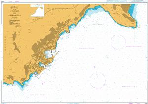
In StockMonaco and Approaches
Admiralty Chart 2244 Monaco and Approaches
All our standard charts are corrected to the latest Notices to Mariners and available as POD. Please contact us if you would prefer this in POD (print on demand) format.
| Weight | 0.121 kg |
|---|---|
| Dimensions | 88 cm |
| Edition Date | 22/09/2022 |
| Publisher | UKHO |
| Author | Admiralty |
France – West Coast, Port de Bayonne and Approaches including L’Adour
Eastern Approaches to the Aegean Sea
Istanbul Bogazi Kuzeyi (Northern Bosporus)
Mediterranean Sea, Spain – East Coast, Approaches to Barcelona
Italy, Ports on the East Coast of Sardegna
Italy – Sardegna, Oristano and Approaches
