
Subtotal: £19.08
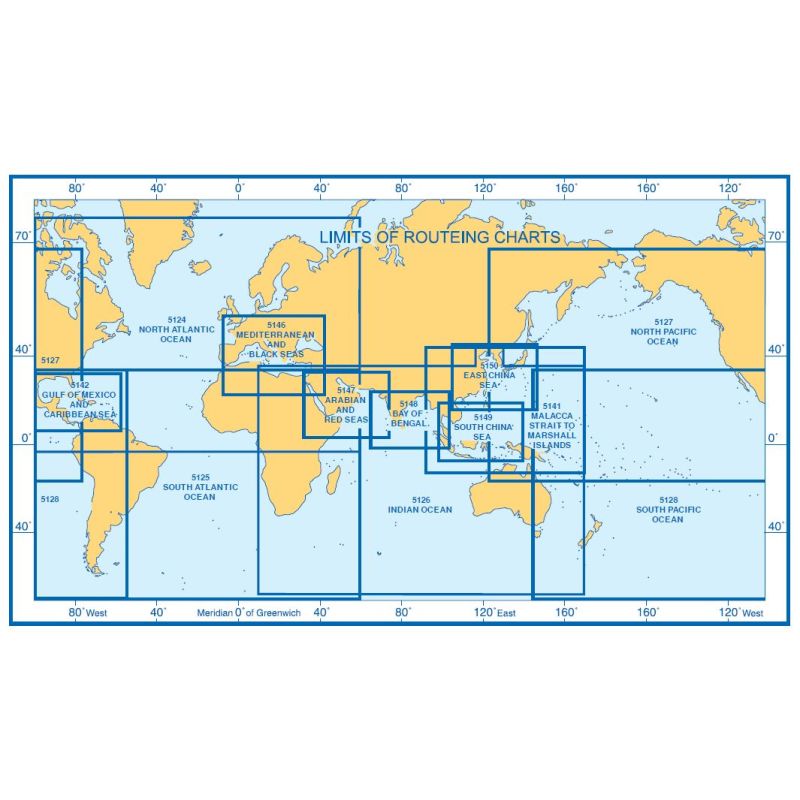
5128(7) – Routeing Chart South Pacific Ocean – July
£19.08
In StockRouteing Chart South Pacific Ocean – July

Description
Admiralty Chart 5128(7) Routeing Chart South Pacific Ocean July
All our standard charts are corrected to the latest Notices to Mariners and available as POD. Please contact us if you would prefer this in POD (print on demand) format.
Additional information
| Weight | 0.5 kg |
|---|---|
| Dimensions | 88 cm |
| Edition Date | 16/11/2023 |
| Publisher | UKHO |
| Author | Admiralty |
Related Products
-

Routeing Chart South Atlantic Ocean – September
£19.08 -
Routeing Chart North Atlantic Ocean – February
£19.08 -
Routeing Chart North Atlantic Ocean – August
£19.08 -
Malacca Strait to Marshall Islands Routeing (April)
£19.08 -
Routeing Chart South Atlantic Ocean – May
£19.08 -
Routeing Chart South Atlantic Ocean – June
£19.08