-
×
 1160 - Plans on the Coast of Somerset and Devon
1 × £37.80
1160 - Plans on the Coast of Somerset and Devon
1 × £37.80 -
×
1117 - Spain North West Coast Puerto de Ferrol
1 × £37.80
-
×
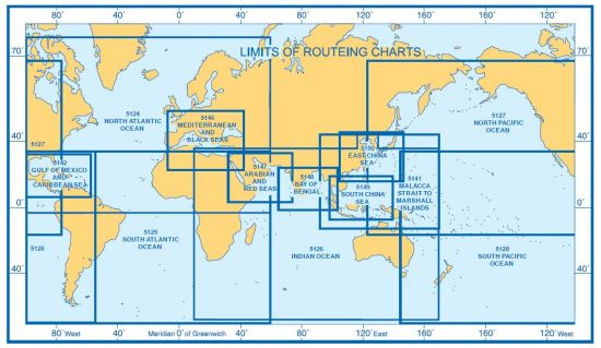
5124(5) - Routeing Chart North Atlantic Ocean - May
1 × £19.08
-
×
1239 - British Isles Orkney and Shetland Islands
1 × £37.80
-
×
2641 - China Bo Hai Jingtang Gangqu
1 × £37.80
-
×
116 - Netherlands Approaches to Westerschelde
1 × £37.80
-
×
5125(1) - Routeing Chart South Atlantic Ocean - January
1 × £19.08
Subtotal: £227.16