Subtotal: £116.37
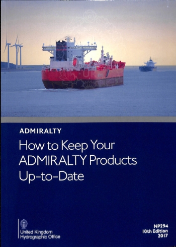
NP294 How to Keep Your Admiralty Products Up to Date
£27.00
In Stock1 in stock (can be backordered)
Description
Admiralty Publication NP294 How to Keep Your Admiralty Products Up to Date
An essential book for all sailors who are wishing to complete chart corrections so their current admiralty charts are up to date. How To Keep Your Admiralty Products Up-To-Date contains sections on notices to mariners, tools needed, publications and how to apply the updates to your charts, amongst others.
Additional information
| Weight | 0.395 kg |
|---|---|
| Dimensions | 30 × 21 × 1 cm |
| Edition | 11th Edition 2022 |
| Format | Soft Cover |
| Publisher | UKHO |
| Author | Admiralty |

 225- Joinville Island to Cape Ducorps and Church Point
