-
×
 1532 - Harbours in the Southern Dhodhekanisos
1 × £37.80
1532 - Harbours in the Southern Dhodhekanisos
1 × £37.80 -
×
5124(8) - Routeing Chart North Atlantic Ocean - August
1 × £19.08
Subtotal: £56.88
 1532 - Harbours in the Southern Dhodhekanisos
1 × £37.80 5124(8) - Routeing Chart North Atlantic Ocean - August
1 × £19.08
1532 - Harbours in the Southern Dhodhekanisos
1 × £37.80 5124(8) - Routeing Chart North Atlantic Ocean - August
1 × £19.08 Subtotal: £56.88
£19.08
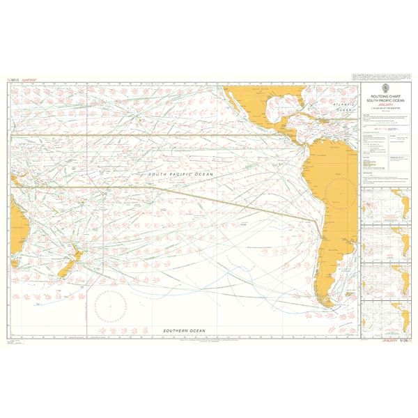
In StockRouteing Chart South Pacific Ocean – January
Chart 5128(1) Routeing Chart South Pacific Ocean January
All our standard charts are corrected to the latest Notices to Mariners and available as POD. Please contact us if you would prefer this in POD (print on demand) format.
| Weight | 0.5 kg |
|---|---|
| Dimensions | 88 cm |
| Edition Date | 16/11/2023 |
| Publisher | UKHO |
| Author | Admiralty |
Routeing Chart South Atlantic Ocean – September
Routeing Chart South Atlantic Ocean – February
Indian Ocean Routeing Chart (December)
Routeing Chart North Atlantic Ocean – May
Routeing Chart South Atlantic Ocean – May
Routeing Chart South Atlantic Ocean – April
