-
×
 Radar Log Book
1 × £33.00
Radar Log Book
1 × £33.00
Subtotal: £33.00
 Radar Log Book
1 × £33.00
Radar Log Book
1 × £33.00 Subtotal: £33.00
£9.00
In StockAvailable on back-order
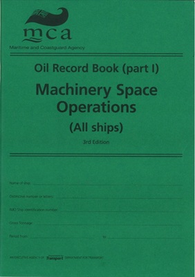
Oil Record Book (Part 1) Machinery Space Operations
Oil Record Book (Part I): Machinery Space Operations (All Ships)’ is required to record Machinery Space Operations for every ship of over 400 tons gross tonnage (other than oil tankers) and every oil tanker over the 150 tons gross tonnage.
This is a vital record book, required in accordance with regulation 17 of the International Convention for the Prevention of Pollution from Ships (1973), as modified by the Protocol of 1978 (MARPOL73/78). The ‘Oil Record Book (Part II): Cargo/Ballast Operations (Oil Tankers)’ is available to purchase separately.
| Weight | 0.63 kg |
|---|---|
| Dimensions | 30 × 21 × 1 cm |
| Edition | 3rd, 2010 |
| Format | Paperback |
| Author | MCA |
| Publisher | TSO |
