
Portland Course Plotter

£15.39 ex VAT
In StockA bright blue directional arrow prevents accidental reciprocal bearings and the edges are graduated for tide and boat speed. Fixed grid base helps plotting lat. and long. from GPS
1 in stock (can be backordered)

Description
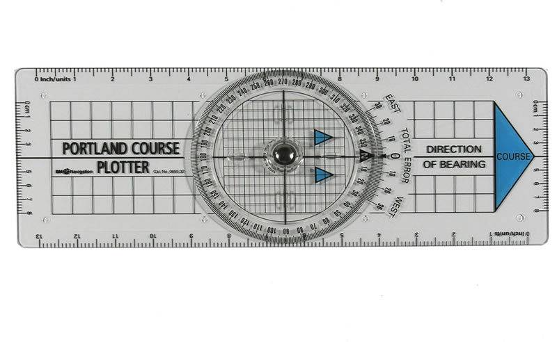
Portland Course Plotter
A popular chart work instrument widely used by RYA practical & shore based instructors. It provides a quick method of plotting course and bearings and gives a direct reading of corrections for magnetic variation.
This new version has been developed in consultation with the RYA and has been engineered for both strength & fine accuracy. Compass disc incorporates special finger bars making it more easily used with cold, wet, or even gloved hands. Edge scales for tide and boat speeds.
A bright blue directional arrow prevents accidental reciprocal bearings and the edges are graduated for tide and boat speed. Fixed grid base helps plotting latitude and longitude from GPS.
Also a useful training aid for students.
Additional information
| Weight | 0.5 kg |
|---|---|
| Dimensions | 45 × 15 × 1 cm |
Related Products
-
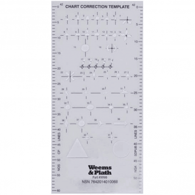
The Chart Correction Template includes stencils for Region A & B IALA Maritime Buoyage symbols that are required for updating and correcting nautical charts. Keeping charts updated ensures the safety of your crew and vessel. Designed for use with a fine-line pen, corrections to nautical charts can be made neatly and quickly with this simple-to-use stencil. These corrections then become a permanent part of the chart. Corrections should be made in ink so they will not be accidentally erased when you are plotting courses on the chart. Please reference US Nautical Chart No. 1 or UK Admiralty Chart 5011 for assistance with symbol identification. This is an exact replica of the Chart Correction Template formerly prepared and published by the National Geospatial Intelligence Agency (NGA).
£15.00 ex VAT -
 £65.00 ex VAT
 -
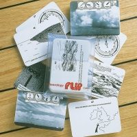
This pack covers Meteorology in UK waters with particular relevance to the RYA courses. Playing card size flip cards provide a very easy learning platform and are ideal for revision.
£10.00 ex VAT -
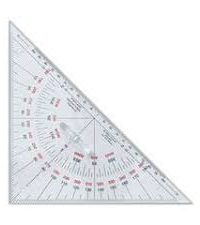
200mm set square features protractor markings and compass points with reciprocals in red, the scale is in millimeters.
£6.99 ex VAT -
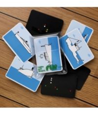
The lights and shapes playing card size flip cards provide a very easy learning platform and are ideal for revision.
£10.00 ex VAT -
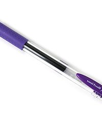
Pilot G-Tec C4 0.4mm
£5.00 ex VAT