-
×
 Manual on Oil Pollution Section VI
1 × £14.40
Manual on Oil Pollution Section VI
1 × £14.40 -
×
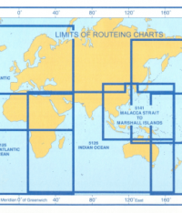 5146(11) - Routeing Chart Mediterranean and Black Seas (November)
1 × £17.73
5146(11) - Routeing Chart Mediterranean and Black Seas (November)
1 × £17.73 -
×
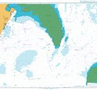
 3906 - South Eastern Approaches to Madagascar
1 × £31.50
3906 - South Eastern Approaches to Madagascar
1 × £31.50 -
×
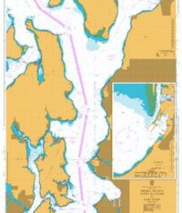 47 - Puget Sound Point No Point to Alki Point
1 × £31.50
47 - Puget Sound Point No Point to Alki Point
1 × £31.50 -
×
 1152 - Bristol Channel Nash Point to Sand Point
1 × £31.50
1152 - Bristol Channel Nash Point to Sand Point
1 × £31.50 -
×
 138 - China Hainan Dao Xiuying Gangqu
1 × £31.50
138 - China Hainan Dao Xiuying Gangqu
1 × £31.50 -
×
 NP221 Tidal Stream Atlas Plymouth Harbour & Approaches
1 × £20.07
NP221 Tidal Stream Atlas Plymouth Harbour & Approaches
1 × £20.07 -
×
 467 - Bayajibe to Haina
1 × £31.50
467 - Bayajibe to Haina
1 × £31.50 -
×
3736 - The Kingdom of Bahrain Mina Salma
1 × £31.50
-
×
 773 - Strait of Gibraltar to Isla de Alboran
1 × £31.50
773 - Strait of Gibraltar to Isla de Alboran
1 × £31.50 -
×
 3783 - Qatar Mesaieed (Musay'id or Umm Said)
1 × £31.50
3783 - Qatar Mesaieed (Musay'id or Umm Said)
1 × £31.50 -
×
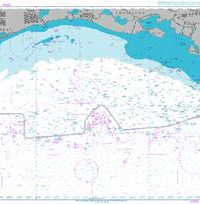
5124(8) - Routeing Chart North Atlantic Ocean - August
1 × £17.73
-
×
 NP286(8) List of Radio Signals Vol. 6 Part 8
1 × £59.04
NP286(8) List of Radio Signals Vol. 6 Part 8
1 × £59.04 -
×
 3850 - Galveston Bay to Ship Shoal
1 × £31.50
3850 - Galveston Bay to Ship Shoal
1 × £31.50 -
×
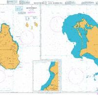 254 - Montserrat and Barbuda
1 × £31.50
254 - Montserrat and Barbuda
1 × £31.50 -
×
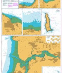 1160 - Plans on the Coast of Somerset and Devon
1 × £31.50
1160 - Plans on the Coast of Somerset and Devon
1 × £31.50 -
×
 1193 - Tarragona
1 × £31.50
1193 - Tarragona
1 × £31.50 -
×
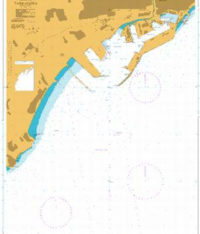
 11 - Iran Jazireh-ye Khark and Approaches
1 × £31.50
11 - Iran Jazireh-ye Khark and Approaches
1 × £31.50 -
×
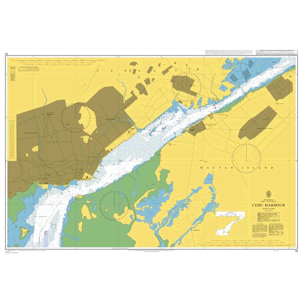 14 - Cebu Harbour
1 × £31.50
14 - Cebu Harbour
1 × £31.50 -
×
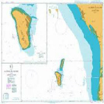
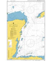 1220 - Gulf of Honduras and Yucatan Channel
1 × £31.50
1220 - Gulf of Honduras and Yucatan Channel
1 × £31.50 -
×
 3178 - Approaches to Mubarraz Terminal including Zaqqum Traffic Separation Scheme
1 × £31.50
3178 - Approaches to Mubarraz Terminal including Zaqqum Traffic Separation Scheme
1 × £31.50 -
×
 1235 - Khawr `Abd Allah and Approaches to Shatt al `Arab or Arvand Rud
1 × £31.50
1235 - Khawr `Abd Allah and Approaches to Shatt al `Arab or Arvand Rud
1 × £31.50
Subtotal: £664.47