Welcome to South Bank Marine - Worldwide Navigation Services
My Account
  • Checkout
  • Cart
sales@southbankmarine.com
+44 1472 361137
logo
search loader
  • About
  • Books
    • Admiralty Publications
      • Admiralty Celestial Publications
      • Admiralty ECDIS & ENC Publications
      • Admiralty General Publications & Reference Guides
      • Admiralty List of Lights & Fog Signals
      • Admiralty List of Radio Signals
      • Admiralty Tidal Publications
    • Almanacs
    • I C Brindle Publications
    • IMO Publications
    • ITU Publications
    • Navigation Log Books
    • Medical
    • Witherby
    • Other
  • Charts
    • Admiralty Charts
      • Standard Nautical Charts
        • Atlantic
        • British Isles
        • Caribbean
        • Mediterranean
        • Northern Europe
        • Pacific
        • Rest of the World
        • Rest of the World 2
      • Instructional, Practice & Miscellaneous Charts
        From instructional charts designed for training and examination, this section features material used by the MOD for practice and exercises as well as various other forms of literature for those looking to improve navigation and general seafaring skills.
        • Instructional Charts
        • Exercise Areas (Q Charts)
          Admiralty Exercise Areas (Q Charts) show the areas around the sea and coasts in the UK that are in use or are available for use by the MOD for practice and exercises, with or without the use of live ammunition and using clear range procedure.
        • Miscellaneous Charts
      • Routeing Charts & Gnomonic Charts
        Full of essential literature to chart passages for your next big ocean voyage. This category features an array of useful Gnomonic charts displaying circle routes as straight lines from the Pacific and Atlantic oceans.
        • Routeing Charts
        • Gnomonic Charts
      • Planning Charts
      • Admiralty Print on Demand (POD)
      • Small Craft Charts
    • Imray Charts
  • Digital Products
    • Digital Charts
      • Admiralty Raster Chart Service (ARCS)
      • Admiralty Vector Chart Service (AVCS)
      • C-MAP
        • MAX
        • MAX-N
          C-MAP MAX-N C-MAP MAX-N, exclusive for Navico (LOWRANCE, SIMRAD and B&G), provide boaters with all the necessary data needed to safely navigate wherever their boating takes them. MAX-N+ for Gen2/Gen3 plotters includes further tidal information and Easy Routing technology. Reveal charts deliver ultra, high resolution images of structure, wrecks, isolated reefs and ledges on the sea floor, plus full navigation capability – all at a more affordable price than other charts in its category. Continental charts have all the regular navigation features, but do not have the Dynamic Raster charts, Satellite Views or 3D view. Please ensure you check that your plotter is still compatible before placing an order here.
        • 4D
      • Garmin
        BlueChart® cartography is Garmin’s exclusive marine charting. It complements Garmin’s line of handheld mapping products and marine chartplotters. This line of cartography products is designed to provide interactive viewing of detailed nautical chart data, thereby providing navigators with innovative object-oriented cartography, including 1-foot HD fishing contours and enhanced Auto Guidance. These detailed electronic nautical charts look just like paper charts when displayed on your Garmin chartplotter.
      • Navionics
    • Digital Services
      • ADP
        • Admiralty Digital List of Lights
        • Admiralty Digital Radio Signals
        • Admiralty Total Tide
      • Admiralty e-NP (Electronic Nautical Publications)
  • Flags & Signs
    • Flags
    • Safety Posters
  • Navigation Instruments
  • Services
    • Student
    • Super Yacht Services
    • Vessel Chart & Publication Folio Management
  • Commercial Shipping
  • Gifts

Main Menu

  • About
  • Books
    • Admiralty Publications
      • Admiralty Celestial Publications
      • Admiralty ECDIS & ENC Publications
      • Admiralty General Publications & Reference Guides
      • Admiralty List of Lights & Fog Signals
      • Admiralty List of Radio Signals
      • Admiralty Tidal Publications
    • Almanacs
    • I C Brindle Publications
    • IMO Publications
    • ITU Publications
    • Navigation Log Books
    • Medical
    • Witherby
    • Other
  • Charts
    • Admiralty Charts
      • Standard Nautical Charts
        • Atlantic
        • British Isles
        • Caribbean
        • Mediterranean
        • Northern Europe
        • Pacific
        • Rest of the World
        • Rest of the World 2
      • Instructional, Practice & Miscellaneous Charts
        From instructional charts designed for training and examination, this section features material used by the MOD for practice and exercises as well as various other forms of literature for those looking to improve navigation and general seafaring skills.
        • Instructional Charts
        • Exercise Areas (Q Charts)
          Admiralty Exercise Areas (Q Charts) show the areas around the sea and coasts in the UK that are in use or are available for use by the MOD for practice and exercises, with or without the use of live ammunition and using clear range procedure.
        • Miscellaneous Charts
      • Routeing Charts & Gnomonic Charts
        Full of essential literature to chart passages for your next big ocean voyage. This category features an array of useful Gnomonic charts displaying circle routes as straight lines from the Pacific and Atlantic oceans.
        • Routeing Charts
        • Gnomonic Charts
      • Planning Charts
      • Admiralty Print on Demand (POD)
      • Small Craft Charts
    • Imray Charts
  • Digital Products
    • Digital Charts
      • Admiralty Raster Chart Service (ARCS)
      • Admiralty Vector Chart Service (AVCS)
      • C-MAP
        • MAX
        • MAX-N
          C-MAP MAX-N C-MAP MAX-N, exclusive for Navico (LOWRANCE, SIMRAD and B&G), provide boaters with all the necessary data needed to safely navigate wherever their boating takes them. MAX-N+ for Gen2/Gen3 plotters includes further tidal information and Easy Routing technology. Reveal charts deliver ultra, high resolution images of structure, wrecks, isolated reefs and ledges on the sea floor, plus full navigation capability – all at a more affordable price than other charts in its category. Continental charts have all the regular navigation features, but do not have the Dynamic Raster charts, Satellite Views or 3D view. Please ensure you check that your plotter is still compatible before placing an order here.
        • 4D
      • Garmin
        BlueChart® cartography is Garmin’s exclusive marine charting. It complements Garmin’s line of handheld mapping products and marine chartplotters. This line of cartography products is designed to provide interactive viewing of detailed nautical chart data, thereby providing navigators with innovative object-oriented cartography, including 1-foot HD fishing contours and enhanced Auto Guidance. These detailed electronic nautical charts look just like paper charts when displayed on your Garmin chartplotter.
      • Navionics
    • Digital Services
      • ADP
        • Admiralty Digital List of Lights
        • Admiralty Digital Radio Signals
        • Admiralty Total Tide
      • Admiralty e-NP (Electronic Nautical Publications)
  • Flags & Signs
    • Flags
    • Safety Posters
  • Navigation Instruments
  • Services
    • Student
    • Super Yacht Services
    • Vessel Chart & Publication Folio Management
  • Commercial Shipping
  • Gifts
Shopping Cart
3 item(s) - £136.35
  • × 623 - Tagrin Point to Pepel623 - Tagrin Point to Pepel 1 × £37.80
  • × 347 - China Zhu Jiang Huangpu to Guangzhou Shi347 - China Zhu Jiang Huangpu to Guangzhou Shi 1 × £37.80
  • × NP286(8) List of Radio Signals Vol. 6 Part 8NP286(8) List of Radio Signals Vol. 6 Part 8 1 × £60.75

Subtotal: £136.35

View basketCheckout

Home Latest News New Editions April Newsletter
30 Apr

April Newsletter

Author Lorna KayeCategories New Editions

This months newsletter is available to view here

https://mailchi.mp/bc635381a199/upcoming-new-edition-books-2719168

Share This Post

  • tweet

Post Navigation

« COVID-19 Coronavirus – Update for Vessels & Owners
C-MAP NT & NT+ Charts »

Related Post

    • May Newsletter
      30 May

      May Newsletter

      !NEWS! Welcome to our May Newsletter NEW EDITIONS JUST PUBLISHED West Country Cruising Companion The go-to West Country pilot guide … Read more

    • Admiralty Leisure Folios Are Changing
      09 Aug

      Admiralty Leisure Folios Are Changing

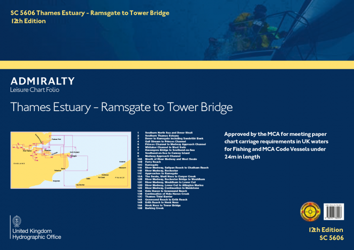
      The UKHO intend to remove the folio structure for small craft paper charts and instead, sell them as single sheets … Read more

    • NEW EDITION DUE                      ITU List of Coast Stations 2019
      06 Sep

      NEW EDITION DUE ITU List of Coast Stations 2019

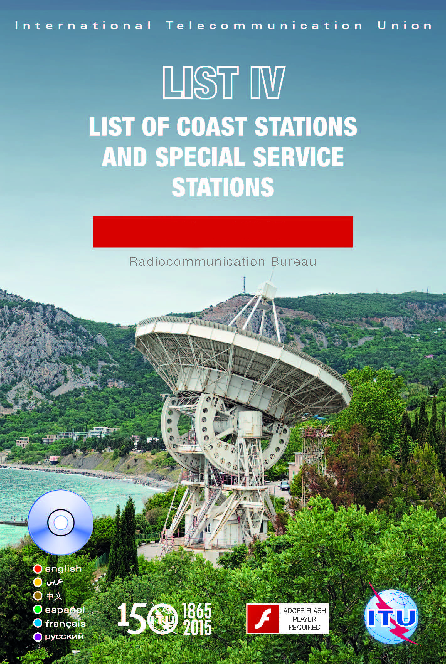
      The new 2019 edition is due for release towards the end of the year. List IV contains important information for … Read more

    • 15 May

      ITU List V, List of Ship Stations & Maritime Mobile Service Identity Assignments

      NOW ON STOCK

    • NEW EDITION DUE                      ITU List of Ship Stations 2019
      17 Apr

      NEW EDITION DUE ITU List of Ship Stations 2019

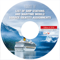
      ITU List of Ship Stations and Maritime Mobile Service Identity Assignments 2019 Edition. The List of Ship Stations and Maritime … Read more

    • 17 Apr

      NEW EDITION Drug Trafficking & Drug Abuse on Board Ship 2019

      This publication provides guidance on how to combat drug trafficking at sea and to recognise the signs of drug use … Read more

    • 15 Mar

      Upcoming Releases

      The forthcoming months will see many popular titles have new editions released.  Release dates have been entered, however, please bear … Read more
    • 05 Dec

      Festive Store Opening Times

      Our store opening times for the Festive Period. Orders can still be submitted via the web shop, but delivery maybe … Read more

    • 22 Nov

      Imray Publications Coming Soon

      Imray are due to release New Editions of several titles over the next few weeks. Reeds Small Craft Almanac 2019 … Read more

    • 19 Mar

      NEW EDITION IMSBC Code

      New Edition of IMO II260E IMSBC Code The IMSBC Code, adopted on 4 December 2008 by resolution MSC.268(85), entered into … Read more

Categories

  • Industry News
  • Latest News
  • New Editions
  • SBM News

Tags Cloud

#admiralty #admiralty #smallcraftcharts #almanacs #alwaysbeprepared #browns #bsf #charts #codeofsafeworking #cruising #goinggreen #imray #leisurefolios #mariners #nauticalalmanac #navigation #NELC #printondemand #reeds #reedsalmanac #reedsupdates #sailing #sea #shipping #smartenergy #southbankmarine Admiralty C-MAP e-NP Imray List of Coast Stations manuals nautical neweditions Sailing skipper southbankmarine ukho yachting

Search

ON SALE

  • IAMSAR Manual Action Cards 2022 Edition
    IAMSAR Manual Action Cards 2022 Edition £20.00 Original price was: £20.00.£16.00Current price is: £16.00.
  • Atlantic Spain & Portugal
    Atlantic Spain & Portugal £49.50 Original price was: £49.50.£42.08Current price is: £42.08.

Customer Service

  • About
  • Contact Us
  • Delivery Information
  • Returns
  • Terms and Conditions
  • Cookie Policy
  • Privacy Policy

News

    • Admiralty Publications Check List June 10, 2025
    • May Newsletter May 30, 2025
    • Admiralty Leisure Folios Are Changing August 9, 2021
    • Reeds Almanac June Updates July 1, 2021
    • We go a little greener! June 15, 2021
    • Festive Opening Hours December 30, 2020
    • Season’s Greetings December 14, 2020
    • ADMIRALTY Gateway Retirement November 11, 2020
    • ADMIRALTY e-Reader v1.4 November 11, 2020
    • C-MAP NT & NT+ Charts June 2, 2020

Tweets

Our Newsletters

Subscribe for latest offers and updates!

Stay Connected

© 2019 South Bank Marine Ltd - All Rights Reserved.

Payments
Our website uses cookies. By continuing to browse this website you are agreeing to our use of cookies.UnderstoodView Our Privacy Policy