2120 North Sea Nieuwpoort to Den Helder Chart Pack
Part of Imray’s popular small format chart coverage for the Netherlands, this atlas is a convenient A2 format.
It includes all of the navigational charts and tidal data required for coastal passage and approach, plus a larger-format passage planning sheet for plotting routes across the North Sea.
Now includes all VTS reporting points found in these waters.
RRP £37.50
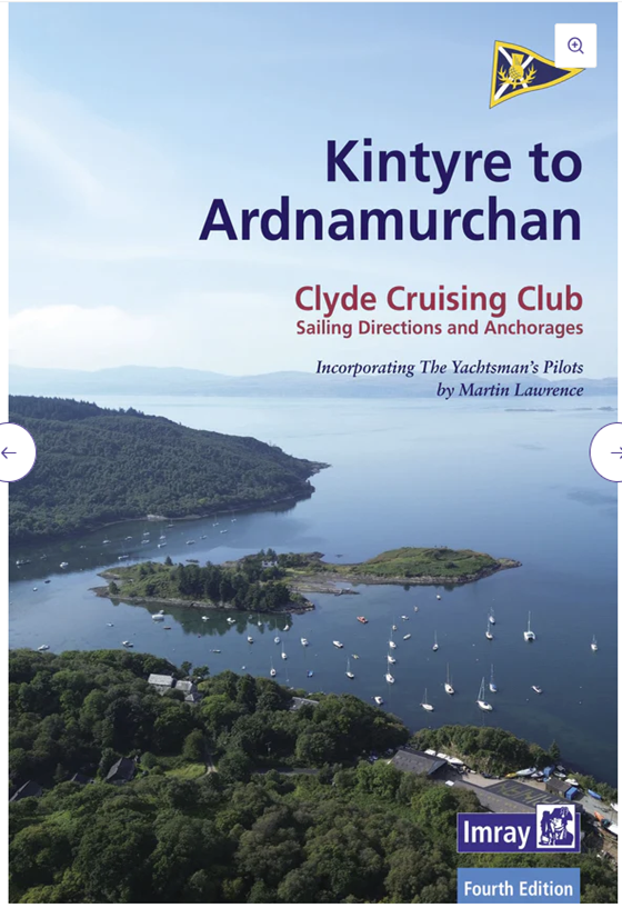
CCC Sailing Directions Kintyre to Ardnamurchan
This cruising guide stretches northwards from the Mull of Kintyre to the Ardamurchan peninsula on the west coast of Scotland, detailing some of the finest cruising grounds to be found anywhere in the world.
Within easy reach of all the main harbours and marinas lie an abundance of lochs and islands with numerous idyllic anchorages to explore. Some of these are easy to find, others pose more of a navigational challenge and are accessed via intricate channels using a series of well-described transits, others lie beyond turbulent tidal sounds. All reward with stunning scenery and there is somewhere for everyone, whether on a first-time visit, or a return to familiar waters.
This new edition, updated by Geoff Crowley, continues the long-respected legacy of Clyde Cruising Club publications for cruising sailors. Information on harbours and marinas has been thoroughly revised, and plans have been updated throughout. New photographs have been included to help to identify key navigational features as well as to entice further exploration. References to Bob Bradfield’s useful Antares large scale charts are also included. Supplements are available to download from the club’s website.
RRP £37.50
FUTURE NEW EDITIONS
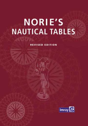
Nories Nautical Tables 2025 Edition
Regardless of the developments in electronic navigation this remains an essential requirement for anyone learning and practising astro-navigation.
Since J W Norie published the first edition of his Complete Set of Nautical Tables and Epitome of Practical Navigation in 1803, many changes to the tables have been necessary in both content and presentation. New tables have been included, obsolete ones deleted to conform with changing techniques of navigation, with the aim of improving the accuracy of the calculated position and reducing the tedium of the calculation. Since the commissioning of the Global Navigation Satellite System (GNSS), its proven accuracy and reliability in all weather conditions have resulted in confidence and almost unquestioning dependence on its ability to provide a vessel’s position, course and speed.
Its use is widespread but the marine environment is a hostile one and failure of electronic equipment or of the system itself is a possibility. No prudent seafarer would proceed on an ocean passage without a reliable navigational back-up. The Explanation is in the form of a detailed step-by-step description, by means of worked examples, of the different methods of performing navigational calculations using a scientific calculator and/or the tables.
A number of esteemed editors have worked on Nories’ Nautical Tables over the years and this edition includes new contributions from Francois Hugo. This edition now presents formulae in an appropriate format for direct entry to a scientific calculator. Because the possibility of navigation without even an appropriate calculator exists, the logarithms have been retained.
All the tables required for coastal and deep sea navigation are included. A simple uniform method of interpolation for all the trigonometrical tables is used. Certain tables and data are also included which are not readily available on board ship or are only used in the examination room. RRP £45.00
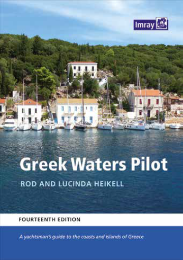
Greek Waters Pilot 2025 Edition
Greek Waters Pilot is the definitive cruising guide to the coasts and islands of Greece, covering the entire area from the Ionian Islands to the Aegean, Rhodes and Crete and includes details of over 450 harbours and anchorages in a single volume.
Greek Waters Pilot has been painstakingly compiled from Rod and Lucinda Heikell’s own survey work and exploration over four decades, as well as first-hand information from their network of contributors. The organisation of so much detail within the confines of a single volume is impressive. This, the fourteenth edition, marks the fortieth anniversary of the first edition of this celebrated cruising guide. It has once again been thoroughly updated to reflect developments and changes across the whole region.
Enriched with fascinating historical, mythological and gastronomic information, Greek Waters Pilot is an incomparable resource and companion for anyone planning to spend time in these endlessly enticing waters.
RRP £55.00
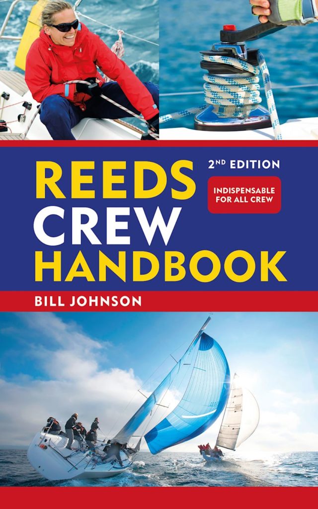
Reeds Crew Handbook 2nd Edition
Reeds Crew Handbook is the ideal primer or aide-memoire for new crew, and for anyone going on a flotilla or charter holiday, or sailing aboard a friend’s yacht for the weekend.
Both a refresher for old hands and an ideal introduction for skippers to hand to new and aspiring crew, this guide gives them all the essential knowledge they need to undertake the tasks traditionally handled by crew aboard any size of yacht, including:
Steering (both with a tiller and a wheel) Raising, dropping and reefing a sail Boat handling (using tide, wind, etc) Handling lines (throwing, coiling, lassoing, etc) Tying up a boat on a pontoon and against a quay wall Attaching bow and stern lines and springs Handling an anchor Using the radio Basic first aid Essential knots
Presented in bite-sized topics in a very accessible and undaunting fashion, and packed with colour illustrations to guide crew through each task, Reeds Crew Handbook is an invaluable primer for new crew before going to sea, and a handy pocket-sized reference for experienced crew when under sail.

 1208 - Italy Sardegna Approaches to Cagliari
1 × £37.80
1208 - Italy Sardegna Approaches to Cagliari
1 × £37.80 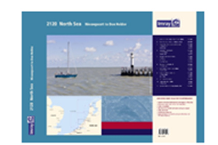
