-
×
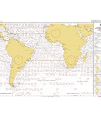 5125(4) - Routeing Chart South Atlantic Ocean - April
1 × £17.73
5125(4) - Routeing Chart South Atlantic Ocean - April
1 × £17.73 -
×
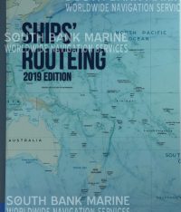 Ships Routeing
2 × £143.10
Ships Routeing
2 × £143.10 -
×
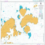 225- Joinville Island to Cape Ducorps and Church Point
1 × £31.50
225- Joinville Island to Cape Ducorps and Church Point
1 × £31.50 -
×
 5150(9) - Mariners' Routeing Chart East China Sea - September
1 × £17.73
5150(9) - Mariners' Routeing Chart East China Sea - September
1 × £17.73 -
×
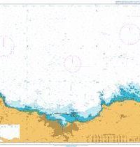 1114 - Approaches to Cherbourg Cap de la Hague to Pointe de Barfleur
1 × £31.50
1114 - Approaches to Cherbourg Cap de la Hague to Pointe de Barfleur
1 × £31.50 -
×
 255 - Eastern Approaches to Jamaica
1 × £31.50
255 - Eastern Approaches to Jamaica
1 × £31.50 -
×
5125(9) - Routeing Chart South Atlantic Ocean - September
2 × £17.73
-
×
 5149(9) - Mariners' Routeing Chart South China Sea - September
1 × £17.73
5149(9) - Mariners' Routeing Chart South China Sea - September
1 × £17.73 -
×
 5124(7) - Routeing Chart North Atlantic Ocean - July
1 × £17.73
5124(7) - Routeing Chart North Atlantic Ocean - July
1 × £17.73 -
×
 Atlantic Spain & Portugal
1 × £42.08
Atlantic Spain & Portugal
1 × £42.08 -
×
17 - Plans of the Santa Cruz and Adjacent Islands
1 × £31.50
-
×
 1110 - La Coruna and Approaches
1 × £31.50
1110 - La Coruna and Approaches
1 × £31.50 -
×
 Motorship Engineers Log Book 6 Month
1 × £35.20
Motorship Engineers Log Book 6 Month
1 × £35.20 -
×
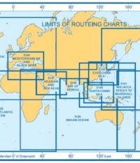 5126(12) - Indian Ocean Routeing Chart (December)
1 × £17.73
5126(12) - Indian Ocean Routeing Chart (December)
1 × £17.73 -
×
 NP350(3) Admiralty Distance Tables Pacific Ocean Vol 3
1 × £39.60
NP350(3) Admiralty Distance Tables Pacific Ocean Vol 3
1 × £39.60 -
×
 1182 - South Wales Barry and Cardiff Roads with Approaches
1 × £31.50
1182 - South Wales Barry and Cardiff Roads with Approaches
1 × £31.50 -
×
5150(7) - Mariners' Routeing Chart East China Sea - July
1 × £17.73
-
×
5125(6) - Routeing Chart South Atlantic Ocean - June
2 × £17.73
-
×
5150(3) - Mariners' Routeing Chart East China Sea - March
1 × £17.73
-
×
5125(1) - Routeing Chart South Atlantic Ocean - January
2 × £17.73
-
×
 1078 - Inverness Firth
1 × £31.50
1078 - Inverness Firth
1 × £31.50
Subtotal: £854.07