
-
×
 GMDSS Manual 2024 Edition
1 × £135.00
GMDSS Manual 2024 Edition
1 × £135.00 -
×
 4004 - Planning Chart for the North Atlantic Ocean and Mediterranean Sea
1 × £31.50
4004 - Planning Chart for the North Atlantic Ocean and Mediterranean Sea
1 × £31.50 -
×
5124(5) - Routeing Chart North Atlantic Ocean - May
1 × £17.73
-
×
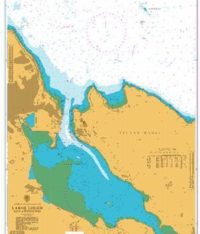 1237 - Larne Lough and Approaches
1 × £31.50
1237 - Larne Lough and Approaches
1 × £31.50 -
×
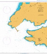
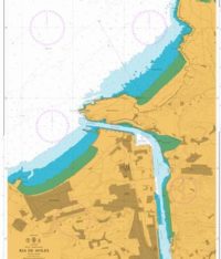 1142 - Spain North Coast Ria de Aviles
1 × £31.50
1142 - Spain North Coast Ria de Aviles
1 × £31.50 -
×
 1210 - Italy Ports on the East Coast of Sardegna
1 × £31.50
1210 - Italy Ports on the East Coast of Sardegna
1 × £31.50 -
×
 4009 - Planning Chart for the Antarctic Region
1 × £31.50
4009 - Planning Chart for the Antarctic Region
1 × £31.50 -
×
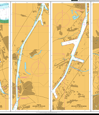 114 - Netherlands and Belgium Canal Gent-Terneuzen
1 × £31.50
114 - Netherlands and Belgium Canal Gent-Terneuzen
1 × £31.50 -
×
5124(4) - Routeing Chart North Atlantic Ocean - April
1 × £17.73
-
×
5134 - Kenmare River to Cork Harbour Instructional Chart
1 × £7.38
-
×
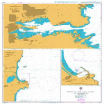
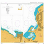
 1118 - Spain North West Coast Ria de Ferrol
1 × £31.50
1118 - Spain North West Coast Ria de Ferrol
1 × £31.50 -
×
 464 - Montego Bay and Ocho Rios Bay
1 × £31.50
464 - Montego Bay and Ocho Rios Bay
1 × £31.50 -
×
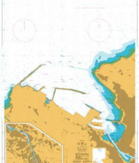 1173 - Bilbao
1 × £31.50
1173 - Bilbao
1 × £31.50
Subtotal: £461.34