
-
×
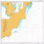
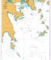
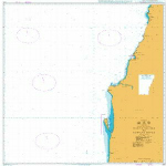
 1189 - South East Coast Approaches to Cartagena
1 × £31.50
1189 - South East Coast Approaches to Cartagena
1 × £31.50 -
×
 979 - Indonesia Jawa North Coast Selat Surabaya Sheet 3
2 × £31.50
979 - Indonesia Jawa North Coast Selat Surabaya Sheet 3
2 × £31.50 -
×
 NP61 Admiralty Sailing Directions Pacific Islands Pilot Vol. 2
1 × £75.96
NP61 Admiralty Sailing Directions Pacific Islands Pilot Vol. 2
1 × £75.96 -
×
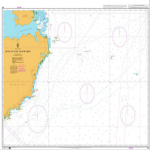
 773 - Strait of Gibraltar to Isla de Alboran
1 × £31.50
773 - Strait of Gibraltar to Isla de Alboran
1 × £31.50 -
×
 ADRS6 - Area 3 Northern Waters The Baltic & Germany
1 × £68.85
ADRS6 - Area 3 Northern Waters The Baltic & Germany
1 × £68.85 -
×
 3785 - Arabia Oman Mina' Raysut to Al Masirah
1 × £31.50
3785 - Arabia Oman Mina' Raysut to Al Masirah
1 × £31.50 -
×
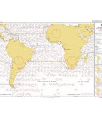
 5124(9) - Routeing Chart North Atlantic Ocean - September
1 × £17.73
5124(9) - Routeing Chart North Atlantic Ocean - September
1 × £17.73 -
×
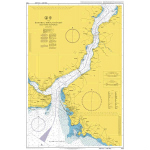
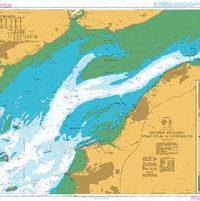 1176 - Severn Estuary Steep Holm to Avonmouth
1 × £31.50
1176 - Severn Estuary Steep Holm to Avonmouth
1 × £31.50 -
×
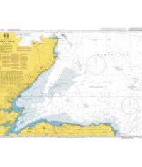 115 - Moray Firth
1 × £31.50
115 - Moray Firth
1 × £31.50 -
×
 46 - Puget Sound Point Partridge to Point No Point
1 × £31.50
46 - Puget Sound Point Partridge to Point No Point
1 × £31.50 -
×
ADRS6 - Area 7 Australia Borneo and Philippines (E Coast)
1 × £68.85
-
×
 5 - `Abd Al Kuri to Suqutra (Socotra)
1 × £31.50
5 - `Abd Al Kuri to Suqutra (Socotra)
1 × £31.50 -
×
 11 - Iran Jazireh-ye Khark and Approaches
1 × £31.50
11 - Iran Jazireh-ye Khark and Approaches
1 × £31.50 -
×
 1141 - Approaches to Pelabuhan Sungai Udang and Melaka
1 × £31.50
1141 - Approaches to Pelabuhan Sungai Udang and Melaka
1 × £31.50 -
×
 80 - Rosario Strait
1 × £31.50
80 - Rosario Strait
1 × £31.50 -
×
 5125(4) - Routeing Chart South Atlantic Ocean - April
1 × £17.73
5125(4) - Routeing Chart South Atlantic Ocean - April
1 × £17.73 -
×
 NP337 Tidal Stream Atlas The Solent and Adjacent Waters
1 × £20.07
NP337 Tidal Stream Atlas The Solent and Adjacent Waters
1 × £20.07 -
×
 1193 - Tarragona
1 × £31.50
1193 - Tarragona
1 × £31.50 -
×
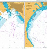
 1204 - Italy Sardegna Approaches to Porto Torres
1 × £31.50
1204 - Italy Sardegna Approaches to Porto Torres
1 × £31.50 -
×
 2681 -Approaches to Al Iskandariyah (Alexandria) and Khalij Abu Qir
1 × £31.50
2681 -Approaches to Al Iskandariyah (Alexandria) and Khalij Abu Qir
1 × £31.50 -
×
 1093 - Steno Andikithiron to Steno Kafirea
2 × £31.50
1093 - Steno Andikithiron to Steno Kafirea
2 × £31.50 -
×
 103 - South China Sea Hainan Dao Eastwards
1 × £31.50
103 - South China Sea Hainan Dao Eastwards
1 × £31.50 -
×
 1159 - Istanbul Bogazi Guneyi (Southern Bosporus)
1 × £31.50
1159 - Istanbul Bogazi Guneyi (Southern Bosporus)
1 × £31.50 -
×
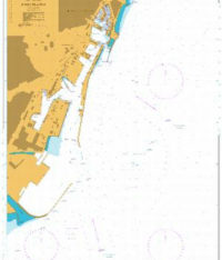
1183 - England East Coast Thames Estuary
1 × £31.50
-
×
 1180 - Spain East Coast Barcelona
1 × £31.50
1180 - Spain East Coast Barcelona
1 × £31.50 -
×
 NP258 Tidal Stream Atlas Bristol Channel Lundy to Avonmouth
1 × £20.07
NP258 Tidal Stream Atlas Bristol Channel Lundy to Avonmouth
1 × £20.07 -
×
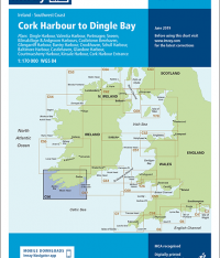 Imray Chart C56 Cork Harbour to Dingle Bay
1 × £23.36
Imray Chart C56 Cork Harbour to Dingle Bay
1 × £23.36 -
×
5125(7) - Routeing Chart South Atlantic Ocean - July
1 × £17.73
-
×
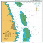
 1210 - Italy Ports on the East Coast of Sardegna
1 × £31.50
1210 - Italy Ports on the East Coast of Sardegna
1 × £31.50 -
×
 3852 - Santa Rosa Island to Tampa Bay
1 × £31.50
3852 - Santa Rosa Island to Tampa Bay
1 × £31.50 -
×
 1235 - Khawr `Abd Allah and Approaches to Shatt al `Arab or Arvand Rud
1 × £31.50
1235 - Khawr `Abd Allah and Approaches to Shatt al `Arab or Arvand Rud
1 × £31.50 -
×
 5126(12) - Indian Ocean Routeing Chart (December)
1 × £17.73
5126(12) - Indian Ocean Routeing Chart (December)
1 × £17.73 -
×
ADRS6 - Areas 1-2 UK & Northern Europe (Die Ems to Gibraltar)
1 × £68.85
-
×
 1153 - Approaches to Gijon
1 × £31.50
1153 - Approaches to Gijon
1 × £31.50 -
×
 116 - Netherlands Approaches to Westerschelde
2 × £31.50
116 - Netherlands Approaches to Westerschelde
2 × £31.50 -
×
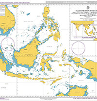 Q6113 - Maritime Security Chart Singapore to Papua New Guinea
1 × £35.55
Q6113 - Maritime Security Chart Singapore to Papua New Guinea
1 × £35.55 -
×
5125(10) - Routeing Chart South Atlantic Ocean - October
1 × £17.73
-
×
 1152 - Bristol Channel Nash Point to Sand Point
1 × £31.50
1152 - Bristol Channel Nash Point to Sand Point
1 × £31.50 -
×
 260 - Pedro Bank to the South Coast of Jamaica
2 × £31.50
260 - Pedro Bank to the South Coast of Jamaica
2 × £31.50 -
×
346 - China Zhu Jiang Nizhou Tou to Huangpu
1 × £31.50
-
×
 463 - Plans on the North Coast of the Dominican Republic
1 × £31.50
463 - Plans on the North Coast of the Dominican Republic
1 × £31.50 -
×
 1145 - Spain North Coast Santander
1 × £31.50
1145 - Spain North Coast Santander
1 × £31.50 -
×
 NP222 Tidal Stream Atlas Firth of Clyde and Approaches
1 × £20.07
NP222 Tidal Stream Atlas Firth of Clyde and Approaches
1 × £20.07 -
×
 259 - Baltic Sea
2 × £31.50
259 - Baltic Sea
2 × £31.50 -
×
 Netherlands Flag 1.5 Yard
1 × £32.50
Netherlands Flag 1.5 Yard
1 × £32.50 -
×
 NP221 Tidal Stream Atlas Plymouth Harbour & Approaches
1 × £20.07
NP221 Tidal Stream Atlas Plymouth Harbour & Approaches
1 × £20.07 -
×
 1257 - Taech'ong Gundo to Namp'o
1 × £31.50
1257 - Taech'ong Gundo to Namp'o
1 × £31.50 -
×
 310 - Angola and Nambia Ponta Grossa to Kunene River
1 × £31.50
310 - Angola and Nambia Ponta Grossa to Kunene River
1 × £31.50 -
×
265 - Gulf of Aden bab el Mandeb and Golfe de Tadjour
2 × £31.50
-
×
 33 - Pakistan Gwadar Deep Water Port
1 × £31.50
33 - Pakistan Gwadar Deep Water Port
1 × £31.50 -
×
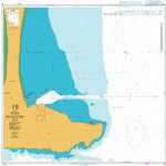
 1208 - Italy Sardegna Approaches to Cagliari
1 × £31.50
1208 - Italy Sardegna Approaches to Cagliari
1 × £31.50 -
×
 1244 - Fiji Islands Ovalau Levuka Harbour
1 × £31.50
1244 - Fiji Islands Ovalau Levuka Harbour
1 × £31.50 -
×
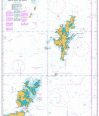 1239 - British Isles Orkney and Shetland Islands
1 × £31.50
1239 - British Isles Orkney and Shetland Islands
1 × £31.50 -
×
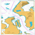
5134 - Kenmare River to Cork Harbour Instructional Chart
1 × £7.38
Subtotal: £1,904.73