-

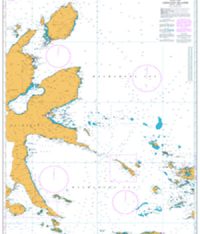
International Chart Series, Indian Ocean, Archipel des Comores
£31.50 -
Indonesia and Thialand, Pulau rondo to Tanjung Jamboaye
£31.50 -
Indonesia and Malaysia – Malacca Strait, Tanjung Jamboaye to Permatand Sedepa (One Fathom Bank)
£31.50 -
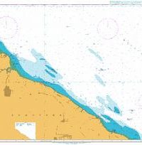
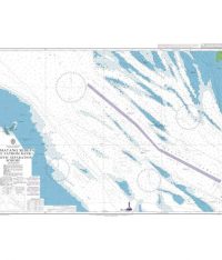
International Chart Series , South Eastern Approaches to Madagascar
£31.50 -
Kruenggeukueh and Blanglancang to Ujung Peureula
£31.50 -
Ujung Peureula to Teluk Aru
£31.50 -
Teluk Aru to Kualatanjung
£31.50 -
Indonesia, East Coast of Halmahera and the Adjacent Islands
£31.50 -
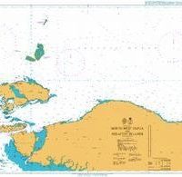
Indonesia, North West Papua and Adjancent Islands
£31.50 -
Admiralty Chart 3924 Tanjung Memori to Tanjung Rainbawi
£31.50 -
Indonesia, Papua – North Coast, Tanjung Rainbawi to Jayapura
£31.50 -
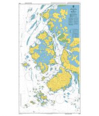
Korea – West Coast, Approaches to Mokp’o
£31.50 -
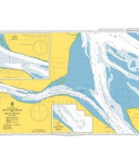
Selat Bengkalis and Selat Rupat
£31.50 -
Permatang Sedepa (One Fathom Bank) Traffic Separation Scheme
£31.50 -
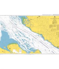
Kepulauan Sembilan to Port Kelang including Pandang and Kepulauan Aruah
£31.50 -
Port Klang to Melaka
£31.50 -
Malacca Strait, Melaka to Singapore Strait
£31.50 -
Umm Said (Musay `id) to Ra`s Laffan
£31.50 -
Approaches to Rio Para and Rio Amazonas
£31.50 ex VAT -
Tumpat to Songkhla
£31.50 -
Gulf of Thailand, Prachuap Khiri Khan to Ko Chuang
£31.50 -
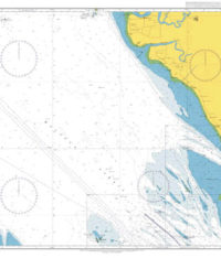
Ilha de Sao Sebastiao to Ilha de Bom Abrigo
£31.50 -
Admiralty Chart 3982 Brazil South Coast Ilha do Arvoredo to Tramanda?
£31.50 -
Admiralty Chart 3983 Brazil Tramanda? to Barra do Rio Grande
£31.50 -
Admiralty Chart 3984 Cap?o da Marca de Fora to Cabo Polonio
£31.50 -
Gulf of Tongking (Northern sheet)
£31.50 -
China South Coast, Gulf of Tonkin, Qinzhou Gang
£31.50 -
Port of Singapore, West Jurong Anchorages and Temasek Fairway
£31.50
sales@southbankmarine.com
+44 1472 361137
