-
×
 4004 - Planning Chart for the North Atlantic Ocean and Mediterranean Sea
1 × £31.50
4004 - Planning Chart for the North Atlantic Ocean and Mediterranean Sea
1 × £31.50 -
×
 103 - South China Sea Hainan Dao Eastwards
1 × £31.50
103 - South China Sea Hainan Dao Eastwards
1 × £31.50 -
×
 NP247(2) Annual Summary of Notices to Mariners Part 2
1 × £9.99
NP247(2) Annual Summary of Notices to Mariners Part 2
1 × £9.99 -
×
 3178 - Approaches to Mubarraz Terminal including Zaqqum Traffic Separation Scheme
1 × £31.50
3178 - Approaches to Mubarraz Terminal including Zaqqum Traffic Separation Scheme
1 × £31.50 -
×
 1255 - China Yellow Sea Chengshan Jiao to Laotieshan Xijiao
1 × £31.50
1255 - China Yellow Sea Chengshan Jiao to Laotieshan Xijiao
1 × £31.50 -
×
 1213 - Bonifacio Strait Golfo di Arzachena
1 × £31.50
1213 - Bonifacio Strait Golfo di Arzachena
1 × £31.50 -
×
 NP265 Tidal Stream Atlas of West Coast of France
1 × £20.07
NP265 Tidal Stream Atlas of West Coast of France
1 × £20.07 -
×
 3990 - Gulf of Tongking (Northern sheet)
2 × £31.50
3990 - Gulf of Tongking (Northern sheet)
2 × £31.50 -
×
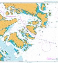
 1233 - Northern Approaches to the Shetland Islands
1 × £31.50
1233 - Northern Approaches to the Shetland Islands
1 × £31.50 -
×
 Imray Chart C33A Channel Islands (North)
1 × £23.36
Imray Chart C33A Channel Islands (North)
1 × £23.36 -
×
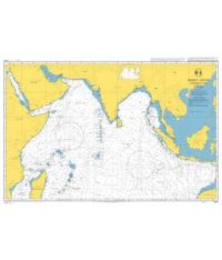
 1214 - Khalij al Kuwayt
1 × £31.50
1214 - Khalij al Kuwayt
1 × £31.50 -
×
 1192 - Saint Abb's Head to the River Tyne
1 × £31.50
1192 - Saint Abb's Head to the River Tyne
1 × £31.50 -
×
 6 - Gulf of Aden
1 × £31.50
6 - Gulf of Aden
1 × £31.50 -
×
 3853 - Tampa Bay to Key West
1 × £31.50
3853 - Tampa Bay to Key West
1 × £31.50 -
×
 1194 - Spain South East Coast Cartagena
1 × £31.50
1194 - Spain South East Coast Cartagena
1 × £31.50 -
×
 1110 - La Coruna and Approaches
1 × £31.50
1110 - La Coruna and Approaches
1 × £31.50 -
×
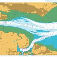 1185 - England East Coast River Thames Sea Reach
1 × £31.50
1185 - England East Coast River Thames Sea Reach
1 × £31.50 -
×
 3842 - Entrance to Shatt al `Arab
1 × £31.50
3842 - Entrance to Shatt al `Arab
1 × £31.50 -
×
 1126 - China East Coast Luojia Shan to Xiangshan Gang
1 × £31.50
1126 - China East Coast Luojia Shan to Xiangshan Gang
1 × £31.50 -
×
 4005 - Planning Chart for the Indian Ocean
1 × £31.50
4005 - Planning Chart for the Indian Ocean
1 × £31.50 -
×
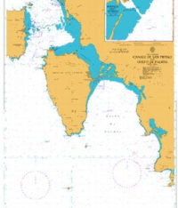 1207 - Canale di San Pietro and Golfo di Palmas
1 × £31.50
1207 - Canale di San Pietro and Golfo di Palmas
1 × £31.50 -
×
368 -Martinique Baie de Fort de France
1 × £31.50
-
×
 472 - Mona Passage
1 × £31.50
472 - Mona Passage
1 × £31.50
Subtotal: £714.92