-
×
 Denmark Flag 1.5 Yard
1 × £35.00
Denmark Flag 1.5 Yard
1 × £35.00 -
×
Netherlands Flag 1.5 Yard
1 × £32.50
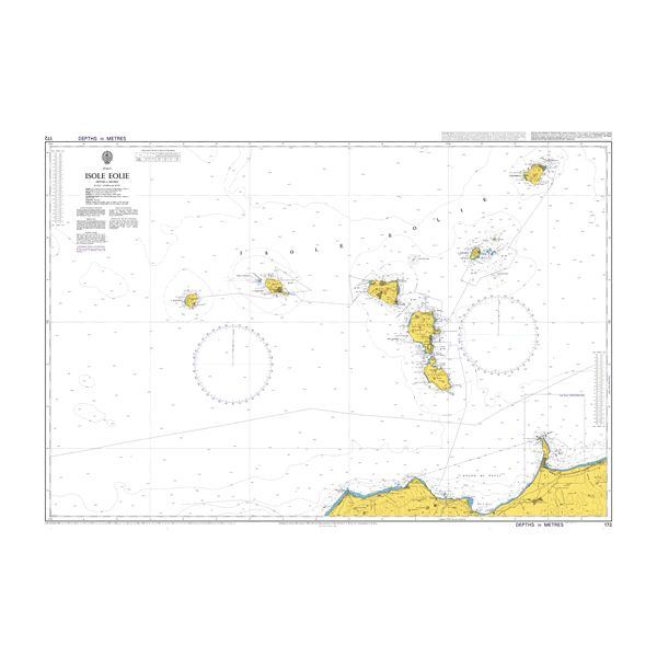
-
×
1205 - Italy Sardegna Oristano and Approaches
1 × £37.80
-
×
1158 - Istanbul Bogazi Kuzeyi (Northern Bosporus)
1 × £37.80
-
×
773 - Strait of Gibraltar to Isla de Alboran
1 × £37.80
Subtotal: £180.90