-
×
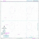
 NP350(1) Admiralty Distance Tables Atlantic Ocean Vol 1
1 × £39.60
NP350(1) Admiralty Distance Tables Atlantic Ocean Vol 1
1 × £39.60 -
×
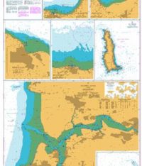
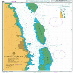
 459 - West Indies Harbours on the North Coast of Jamaica
1 × £31.50
459 - West Indies Harbours on the North Coast of Jamaica
1 × £31.50 -
×
 3980 - Ilha de Sao Sebastiao to Ilha de Bom Abrigo
1 × £31.50
3980 - Ilha de Sao Sebastiao to Ilha de Bom Abrigo
1 × £31.50 -
×
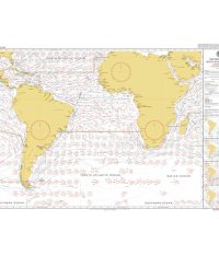 5125(11) - Routeing Chart South Atlantic Ocean - November
1 × £17.73
5125(11) - Routeing Chart South Atlantic Ocean - November
1 × £17.73 -
×
 1231 - Ports in the Bering Sea
2 × £31.50
1231 - Ports in the Bering Sea
2 × £31.50 -
×
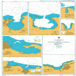
 255 - Eastern Approaches to Jamaica
1 × £31.50
255 - Eastern Approaches to Jamaica
1 × £31.50 -
×
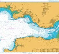
 1189 - South East Coast Approaches to Cartagena
2 × £31.50
1189 - South East Coast Approaches to Cartagena
2 × £31.50 -
×
5125(8) - Routeing Chart South Atlantic Ocean - August
1 × £17.73
-
×
 268 - North Sea Offshore Charts Sheet 9
2 × £31.50
268 - North Sea Offshore Charts Sheet 9
2 × £31.50 -
×
 1244 - Fiji Islands Ovalau Levuka Harbour
1 × £31.50
1244 - Fiji Islands Ovalau Levuka Harbour
1 × £31.50 -
×
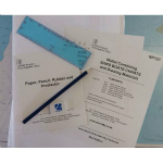 NP727 Wallet Containing Ships Boats Charts & Drawing Materials
1 × £59.04
NP727 Wallet Containing Ships Boats Charts & Drawing Materials
1 × £59.04 -
×
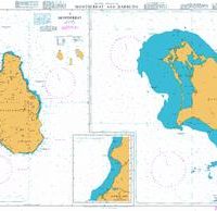 254 - Montserrat and Barbuda
1 × £31.50
254 - Montserrat and Barbuda
1 × £31.50 -
×
 1200 - England East Coast The Wash Ports
1 × £31.50
1200 - England East Coast The Wash Ports
1 × £31.50 -
×
 225- Joinville Island to Cape Ducorps and Church Point
1 × £31.50
225- Joinville Island to Cape Ducorps and Church Point
1 × £31.50 -
×
 1045 - Approaches to Trinidad and the Rio Orinoco
1 × £31.50
1045 - Approaches to Trinidad and the Rio Orinoco
1 × £31.50
Subtotal: £575.10