-
×
 1100 - Vietnam Inner Approaches to Song Sai Gon
1 × £37.80
1100 - Vietnam Inner Approaches to Song Sai Gon
1 × £37.80
Subtotal: £37.80
 1100 - Vietnam Inner Approaches to Song Sai Gon
1 × £37.80
1100 - Vietnam Inner Approaches to Song Sai Gon
1 × £37.80 Subtotal: £37.80
£37.80
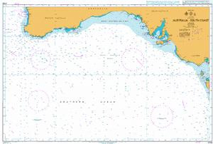
In StockAustralia- South Coast
Admiralty Chart 4709 Australia South Coast
All our standard charts are corrected to the latest Notices to Mariners and available as POD. Please contact us if you would prefer this in POD (print on demand) format.
| Weight | 0.5 kg |
|---|---|
| Dimensions | 88 cm |
| Edition Date | 29/09/2022 |
| Publisher | UKHO |
| Author | Admiralty |
Vietnam – South Coast, Inner Approaches to Song Sai Gon
Church Point to Cape Longing including James Ross Island
Lianyun Gang to Qingdao Gang
Puget Sound Point No Point to Alki Point
Joinville Island to Cape Ducorps and Church Point
China and Korea – Yellow Sea, Dadong Gangqu and Approaches
