-
×
 796 - Cape Eloea and Stazousa Point to Cape Andreas
1 × £31.50
796 - Cape Eloea and Stazousa Point to Cape Andreas
1 × £31.50 -
×
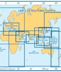
 5124(5) - Routeing Chart North Atlantic Ocean - May
1 × £17.73
5124(5) - Routeing Chart North Atlantic Ocean - May
1 × £17.73 -
×
 80 - Rosario Strait
2 × £31.50
80 - Rosario Strait
2 × £31.50 -
×
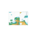
 17 - Plans of the Santa Cruz and Adjacent Islands
1 × £31.50
17 - Plans of the Santa Cruz and Adjacent Islands
1 × £31.50 -
×
368 -Martinique Baie de Fort de France
1 × £31.50
-
×
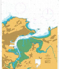
 1237 - Larne Lough and Approaches
1 × £31.50
1237 - Larne Lough and Approaches
1 × £31.50 -
×
5041 - Thames Estuary Instructional Chart
1 × £7.38
-
×
346 - China Zhu Jiang Nizhou Tou to Huangpu
1 × £31.50
-
×
 NP350(1) Admiralty Distance Tables Atlantic Ocean Vol 1
1 × £39.60
NP350(1) Admiralty Distance Tables Atlantic Ocean Vol 1
1 × £39.60 -
×
 1216 - Baia dos Tigres
1 × £31.50
1216 - Baia dos Tigres
1 × £31.50 -
×
 1145 - Spain North Coast Santander
1 × £31.50
1145 - Spain North Coast Santander
1 × £31.50 -
×
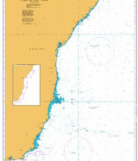 529 - Recife to Cabo de Sao Tome
1 × £31.50
529 - Recife to Cabo de Sao Tome
1 × £31.50 -
×
3842 - Entrance to Shatt al `Arab
1 × £31.50
-
×
 1206 - China No Hai and Yellow Sea Bohai Haixia
1 × £31.50
1206 - China No Hai and Yellow Sea Bohai Haixia
1 × £31.50 -
×
 264 - Africa East Coast Gulf of Aden Approaches to Djibouti
1 × £31.50
264 - Africa East Coast Gulf of Aden Approaches to Djibouti
1 × £31.50 -
×
 8" Single Brass Dividers
1 × £14.29
8" Single Brass Dividers
1 × £14.29 -
×
118 - Italy West Coast Ports in the Gulf of Genoa
1 × £31.50
-
×
 1078 - Inverness Firth
1 × £31.50
1078 - Inverness Firth
1 × £31.50 -
×
 5126(12) - Indian Ocean Routeing Chart (December)
1 × £17.73
5126(12) - Indian Ocean Routeing Chart (December)
1 × £17.73 -
×
 225- Joinville Island to Cape Ducorps and Church Point
1 × £31.50
225- Joinville Island to Cape Ducorps and Church Point
1 × £31.50 -
×
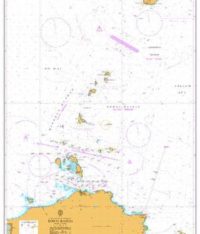
 1231 - Ports in the Bering Sea
1 × £31.50
1231 - Ports in the Bering Sea
1 × £31.50
Subtotal: £632.23