


Description
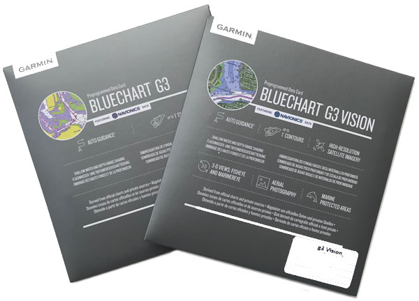
Garmin BlueChart G3
Experience unparalleled coverage and brilliant detail when you?re on the water. BlueChart g3 coastal charts provide superior coverage, clarity and detail with integrated Garmin and Navionics content and Auto Guidance technology.
AUTO GUIDANCE TECHNOLOGY
Auto Guidance technology uses your desired depth and overhead clearance to calculate routes and show a suggested path to follow overlaid onto your chart.
AMAZING DETAIL
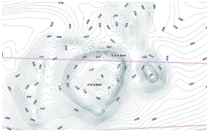
BlueChart g3 coastal charts possess the best of Garmin with the best of Navionics data, bringing you advanced chart detail for navigation as well as up to 0.3 metre contours for improved fishing.
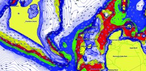
Garmin Blue G3 Vision
BlueChart g3 Vision is Garmin’s premium chart offering, which includes all the reliability, features and integrated Garmin and Navionics content of BlueChart g3 while adding even more industry leading features such as high resolution elevation shading to help you along your journeys.
COMPARE BLUECHART FEATURES
| BlueChart feature comparison | BlueChart g3 | BlueChart g3 Vision |
|---|---|---|
| Integrated Garmin and Navionics data | √ | √ |
| Auto Guidance1?technology | √ | √ |
| Up to 0.3 m contours | √ | √ |
| Depth range shading | √ | √ |
| Shallow water shading | √ | √ |
| Raster cartography | √ | √ |
| Navigational aids, spot soundings, depth contours, tides, currents and detailed harbours and marinas | √ | √ |
| High-resolution Relief Shading | √ | |
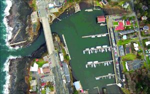
| High-resolution satellite imagery | √ | |
| 3-D views (MarinerEye and FishEye) | √ | |
| Aerial photography | √ |
Auto Guidance is for planning purposes only and does not replace safe navigation practices. Auto Guidance is not included in preloaded BlueChart g3 for ECHOMAP™ Plus series chartplotters.
Chart Coverage
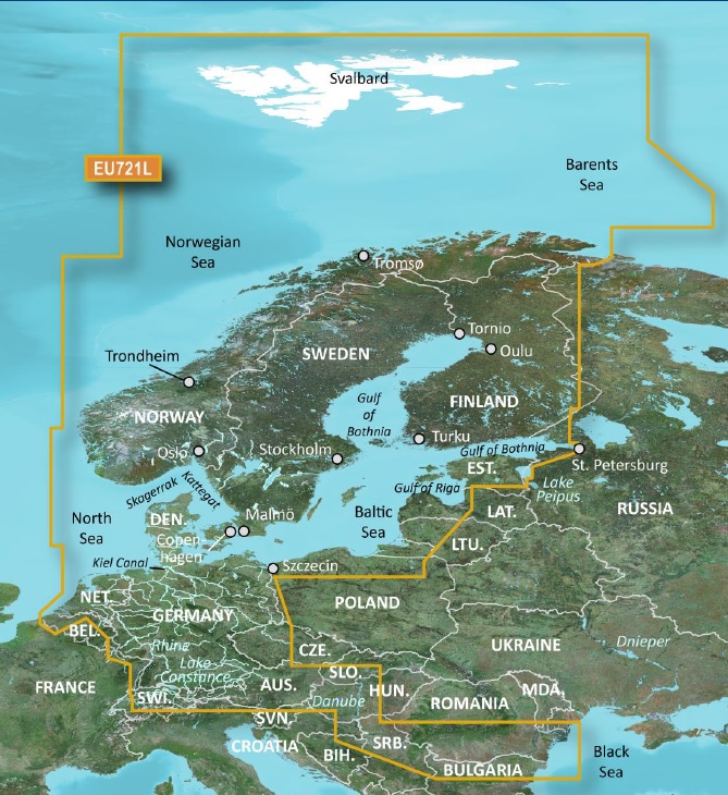
BLUECHART g3 Vision Large
EU721L – Northern Europe
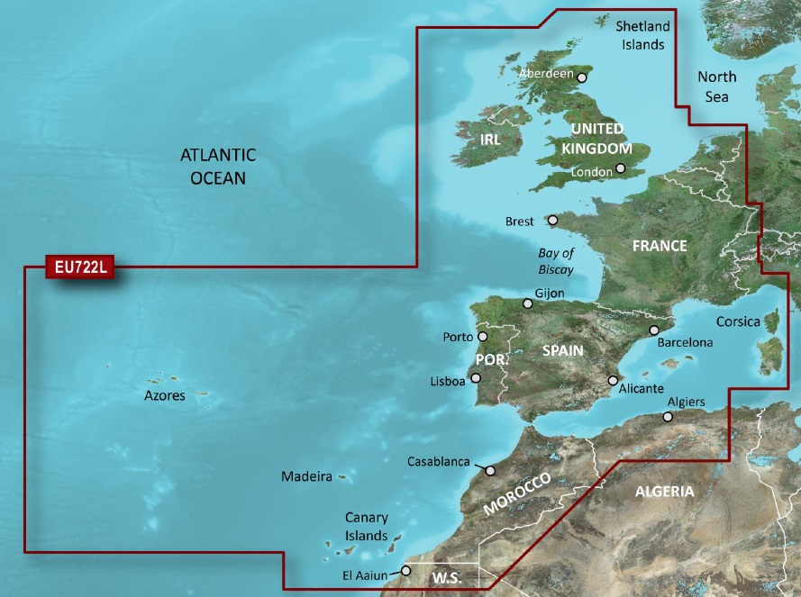
EU722L – Europe Atlantic Coast
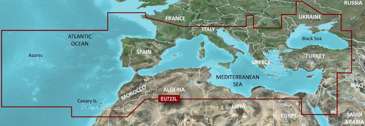
EU723L – Southern Europe
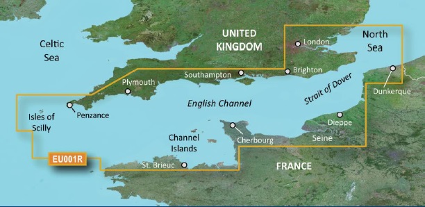
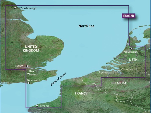
BLUECHART g3 & g3 Vision Regular
EU001R – English Channel
EU002R – S/E England-Belux Inland Waters
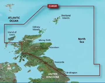
EU003R – Great Britain, North East Coast
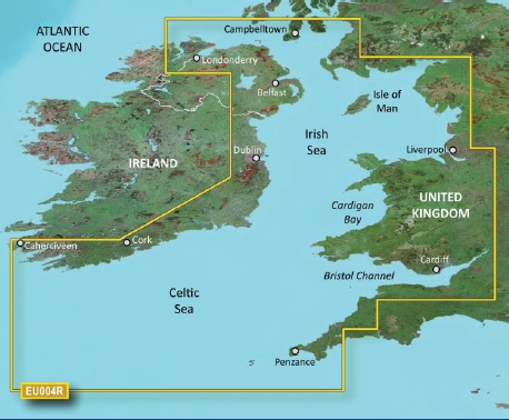
EU004R – Irish Sea
EU005R – Ireland West Coast
EU006R – Scotland West Coast
EU008R – Bay of Biscay
EU018R – Benelux Offshore and Inland Waters
BLUECHART g3 Vision Small
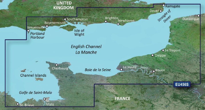
EU456S – English Channel, Central East
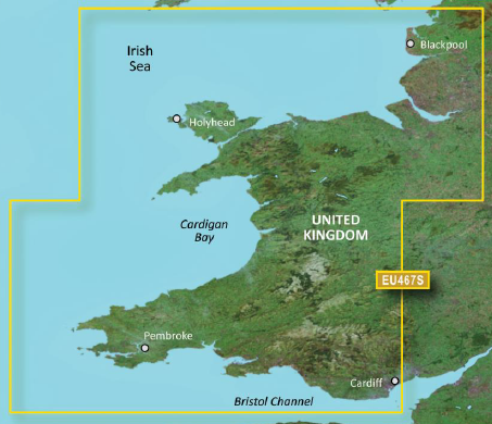
EU467S – Blackpool to Cardiff
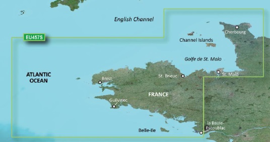
EU457S – Bretagne
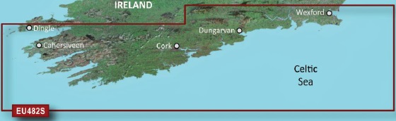
EU482S – Wexford to Dingle Bay
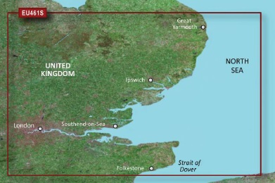
EU461S – Thames Estuary
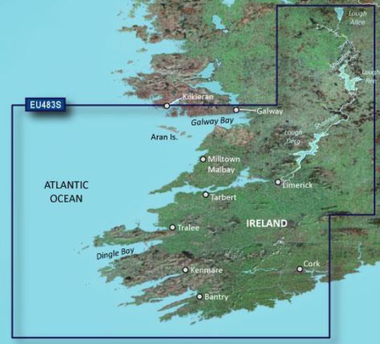
EU483S – Galway Bay to Cork
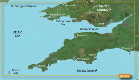
EU463S – Bristol Channel and England South West
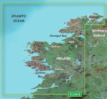
EU484S – Ireland North ? West
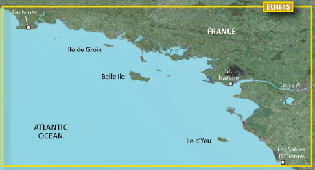
EU464S – Penmarch to Les Sables D?Olonne
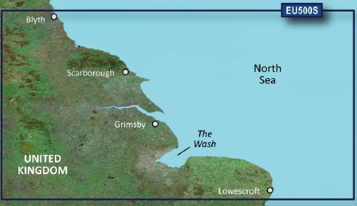
EU500S – Blyth to Lowerstoft
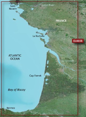
EU465S – La Baule to San Sebastian
Please ensure that your plotter is compatible here
Additional information
| Weight | 0.5 kg |
|---|---|
| Dimensions | 19 × 14 × 1 cm |
| Format | Bluechart g3, Bluechart g3 Vision |
| Chart Area | EU721L ? Northern Europe g3 Vision, EU722L ? Europe Atlantic Coast g3 Vision, EU723L ? Southern Europe g3 Vision, EU001R ? English Channel, EU002R ? S/E England-Belux Inland Waters, EU003R ? Great Britain, North East Coast, EU004R ? Irish Sea, EU005R ? Ireland West Coast, EU006R ? Scotland West Coast, EU008R ? Bay of Biscay, EU018R ? Benelux Offshore and Inland Waters, EU456S ? English Channel, Central East g3 Vision, EU467S ? Blackpool to Cardiff g3 Vision, EU457S ? Bretagne g3 Vision, EU482S ? Wexford to Dingle Bay g3 Vision, EU461S ? Thames Estuary g3 Vision, EU483S ? Galway Bay to Cork g3 Vision, EU463S ? Bristol Channel and England South West g3 Vision, EU484S ? Ireland North ? West g3 Vision, EU464S ? Penmarch to Les Sables D?Olonne g3 Vision, EU500S ? Blyth to Lowerstoft g3 Vision, EU465S ? La Baule to San Sebastian g3 Vision |