
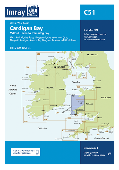
Imray Chart C51 Cardigan Bay
£28.95
In StockAvailable on back-order

Description
Imray Chart C51 Cardigan Bay
Plans included:
Pwllheli (1:12 500)
Aberdovey (1:25 000)
Aberystwyth (1:15 000)
Aberaeron (1:20 000)
New Quay (1:20 000)
Aberporth (1:30 000)
Cardigan (1:40 000)
Newport Bay (1:35 000)
Fishguard (1:18 000)
Entrance to Milford Haven (1:30 000)
This edition includes the latest official UKHO data, combined with additional information sourced from Imray”s network to make it ideal for small craft. The chart has been fully revised throughout.
The chart includes charting and tidal data for passage, approach, and mooring, and is designed to be used alongside Cruising Anglesey and adjoining waters by Ralph Morris, Irish Sea Pilot by David Rainsbury and the Bristol Channel and Severn Cruising Guide by Peter Cumberlidge, all published by Imray.
Additional information
| Weight | 0.5 kg |
|---|---|
| Dimensions | 30 × 25 × 1 cm |
| Edition Date | Sep-23 |
| Scale | 1:145 000 WGS 84 |
Related Products
-
 £28.95
 -
Plymouth Harbour and Rivers
£28.95 -
£28.95
-
£28.95
-
£28.95
-
Eastern English Channel Passage
£28.95