-
×
 1215 - Plans on the Coast of Angola
2 × £31.50
1215 - Plans on the Coast of Angola
2 × £31.50 -
×
 4766 - Baie des Chaleurs/Chaleur Bay aux/to Iles de la Madeleine
1 × £31.50
4766 - Baie des Chaleurs/Chaleur Bay aux/to Iles de la Madeleine
1 × £31.50 -
×
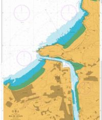 1142 - Spain North Coast Ria de Aviles
1 × £31.50
1142 - Spain North Coast Ria de Aviles
1 × £31.50 -
×
 1112 - France North Coast Cherbourg
1 × £31.50
1112 - France North Coast Cherbourg
1 × £31.50 -
×
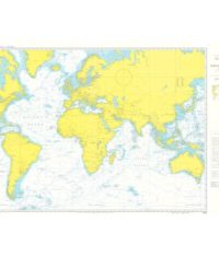 4001 - Planning Chart for the Atlantic and Indian Oceans
1 × £31.50
4001 - Planning Chart for the Atlantic and Indian Oceans
1 × £31.50 -
×
4745 - Bay of Fundy inner portion
1 × £31.50
-
×
 346 - China Zhu Jiang Nizhou Tou to Huangpu
1 × £31.50
346 - China Zhu Jiang Nizhou Tou to Huangpu
1 × £31.50 -
×
 1257 - Taech'ong Gundo to Namp'o
1 × £31.50
1257 - Taech'ong Gundo to Namp'o
1 × £31.50 -
×
2905 - East Loch Tarbert
1 × £31.50
-
×
 5 - `Abd Al Kuri to Suqutra (Socotra)
1 × £31.50
5 - `Abd Al Kuri to Suqutra (Socotra)
1 × £31.50 -
×
 332 - Bermuda Islands Grassy Bay and Great Sound including Little Sound
2 × £31.50
332 - Bermuda Islands Grassy Bay and Great Sound including Little Sound
2 × £31.50 -
×
 NP222 Tidal Stream Atlas Firth of Clyde and Approaches
1 × £20.07
NP222 Tidal Stream Atlas Firth of Clyde and Approaches
1 × £20.07 -
×
 3683 - Sheerness and Approaches
1 × £31.50
3683 - Sheerness and Approaches
1 × £31.50 -
×
 1213 - Bonifacio Strait Golfo di Arzachena
1 × £31.50
1213 - Bonifacio Strait Golfo di Arzachena
1 × £31.50 -
×
 1193 - Tarragona
1 × £31.50
1193 - Tarragona
1 × £31.50 -
×
 2B Pencil
1 × £0.55
2B Pencil
1 × £0.55 -
×
 1147 - Cabo Roxo to Monrovia
1 × £31.50
1147 - Cabo Roxo to Monrovia
1 × £31.50 -
×
 39 - Gulf of Kachchh to Sonmiani Bay
1 × £31.50
39 - Gulf of Kachchh to Sonmiani Bay
1 × £31.50 -
×
 5125(3) - Routeing Chart South Atlantic Ocean - March
1 × £17.73
5125(3) - Routeing Chart South Atlantic Ocean - March
1 × £17.73 -
×
 58 - Pakistan Approaches to Karachi
1 × £31.50
58 - Pakistan Approaches to Karachi
1 × £31.50 -
×
 NP251 Tidal Stream Atlas North Sea Southern Part
1 × £20.07
NP251 Tidal Stream Atlas North Sea Southern Part
1 × £20.07 -
×
 471 - Cabo Caucedo to Isla Alto Velo
1 × £31.50
471 - Cabo Caucedo to Isla Alto Velo
1 × £31.50 -
×
 NP136 Ocean Passages for the World Atlantic Ocean Volume 1
1 × £98.73
NP136 Ocean Passages for the World Atlantic Ocean Volume 1
1 × £98.73 -
×
 1223 - Ports in Kuwait
1 × £31.50
1223 - Ports in Kuwait
1 × £31.50 -
×
 Bridge & Deck Log Book
1 × £35.20
Bridge & Deck Log Book
1 × £35.20
Subtotal: £853.85
 Cargo/Ballast Operations 1")