
14
Dec

-
-
22 Dec
December Newsletter
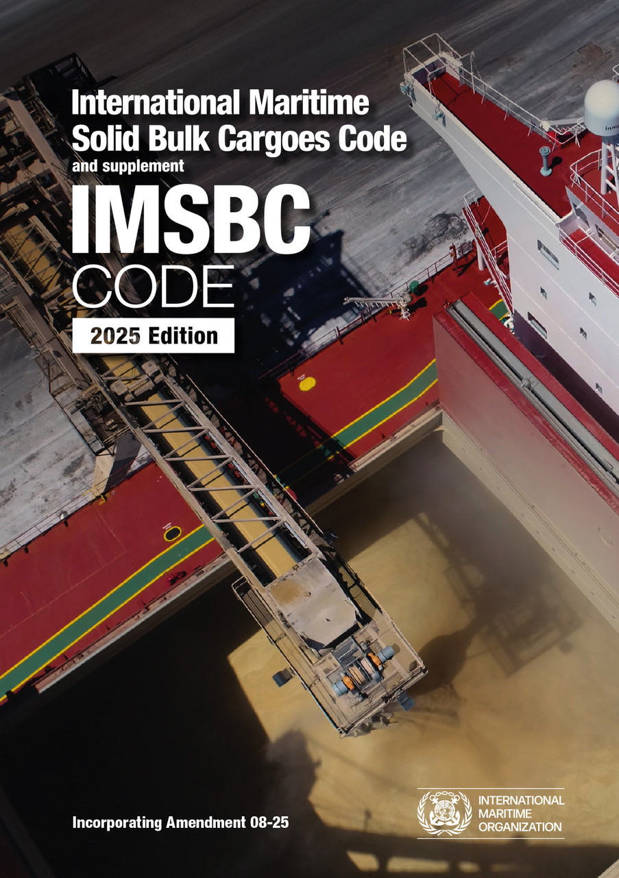
!NEWS! Welcome to our December Newsletter NEW EDITIONS JUST PUBLISHED IMSBC Code, 2025 Edition – DIGITAL VERSION ONLY The International Maritime … Read more
-
-
-
09 Aug
Admiralty Leisure Folios Are Changing
The UKHO intend to remove the folio structure for small craft paper charts and instead, sell them as single sheets … Read more
-
-
-
-
-
15 Jun
We go a little greener!
Our business is passionate about the environment! We have taken steps to reduce our energy consumption, lowering our carbon emissions … Read more
-
-
-
11 Nov
ADMIRALTY e-Reader v1.4
We are pleased to advise that Admiralty have released a new version of the e-Reader software, version 1.4. The new … Read more
-
-
-
02 Jun
C-MAP NT & NT+ Charts
As of May 2020 C-Map have made the decision to discontinue and retire their NT and NT+ range. As such … Read more
-
