-
×
 5125(7) - Routeing Chart South Atlantic Ocean - July
1 × £17.73
5125(7) - Routeing Chart South Atlantic Ocean - July
1 × £17.73 -
×
 5 - `Abd Al Kuri to Suqutra (Socotra)
2 × £31.50
5 - `Abd Al Kuri to Suqutra (Socotra)
2 × £31.50 -
×
 5127(1) - Routeing Chart North Pacific Ocean - January
1 × £17.73
5127(1) - Routeing Chart North Pacific Ocean - January
1 × £17.73 -
×
 1254 - China Yellow Sea Qingdao to Chengshan Jiao
1 × £31.50
1254 - China Yellow Sea Qingdao to Chengshan Jiao
1 × £31.50 -
×
 NP321 Star Almanac for Land Surveyors 2024
1 × £26.28
NP321 Star Almanac for Land Surveyors 2024
1 × £26.28 -
×
 NP221 Tidal Stream Atlas Plymouth Harbour & Approaches
1 × £20.07
NP221 Tidal Stream Atlas Plymouth Harbour & Approaches
1 × £20.07 -
×
 94 - Paracel Islands and Macclesfield Bank
2 × £31.50
94 - Paracel Islands and Macclesfield Bank
2 × £31.50 -
×
 1087 - Greece and Turkey Steno Kafirea to Edremit Korfezi
1 × £31.50
1087 - Greece and Turkey Steno Kafirea to Edremit Korfezi
1 × £31.50 -
×
 56 - Bahia Almirante
1 × £31.50
56 - Bahia Almirante
1 × £31.50 -
×
 Chinagraph Pencil
1 × £0.75
Chinagraph Pencil
1 × £0.75 -
×
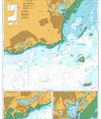
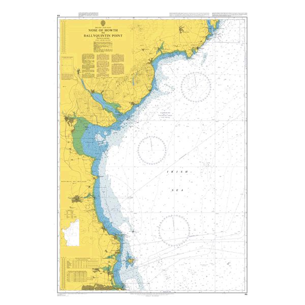 44 - Howth to Ardglass
1 × £31.50
44 - Howth to Ardglass
1 × £31.50 -
×
5125(6) - Routeing Chart South Atlantic Ocean - June
1 × £17.73
-
×
 4700 - Indian Ocean, Port Elizabeth to Mauritius
1 × £31.50
4700 - Indian Ocean, Port Elizabeth to Mauritius
1 × £31.50 -
×
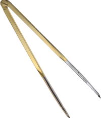 8" Straight Brass Dividers
1 × £14.29
8" Straight Brass Dividers
1 × £14.29 -
×
 5124(2) - Routeing Chart North Atlantic Ocean - February
1 × £17.73
5124(2) - Routeing Chart North Atlantic Ocean - February
1 × £17.73 -
×
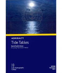 NP206 Tide Tables Vol. 6 2024
1 × £39.60
NP206 Tide Tables Vol. 6 2024
1 × £39.60 -
×
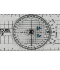 Portland Course Plotter
1 × £15.39
Portland Course Plotter
1 × £15.39 -
×
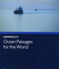 NP136 Ocean Passages for the World Atlantic Ocean Volume 1
1 × £98.73
NP136 Ocean Passages for the World Atlantic Ocean Volume 1
1 × £98.73 -
×
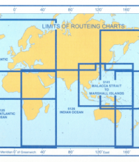 5146(4) - Routeing Chart Mediterranean and Black Seas (April)
2 × £17.73
5146(4) - Routeing Chart Mediterranean and Black Seas (April)
2 × £17.73 -
×
4706 - Bay of Bengal
1 × £31.50
-
×
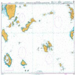 1040 - Nisos Ios to Vrakhonisidha Kandhelioussa
1 × £31.50
1040 - Nisos Ios to Vrakhonisidha Kandhelioussa
1 × £31.50 -
×
 NP202 Tide Tables Vol. 2 2024
1 × £39.60
NP202 Tide Tables Vol. 2 2024
1 × £39.60 -
×
102 - Bangladesh Chattogram Harbour
1 × £31.50
-
×
 NP350(1) Admiralty Distance Tables Atlantic Ocean Vol 1
1 × £39.60
NP350(1) Admiralty Distance Tables Atlantic Ocean Vol 1
1 × £39.60 -
×
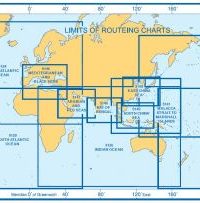 5142(4) - Routeing Chart Gulf of Mexico and Caribbean Sea (April)
2 × £17.73
5142(4) - Routeing Chart Gulf of Mexico and Caribbean Sea (April)
2 × £17.73 -
×
 1182 - South Wales Barry and Cardiff Roads with Approaches
1 × £31.50
1182 - South Wales Barry and Cardiff Roads with Approaches
1 × £31.50 -
×
 60 - Alderney and the Casquets
1 × £31.50
60 - Alderney and the Casquets
1 × £31.50 -
×
 1077 - Approaches to Cromarty Firth and Inverness Firth
1 × £31.50
1077 - Approaches to Cromarty Firth and Inverness Firth
1 × £31.50 -
×
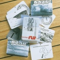
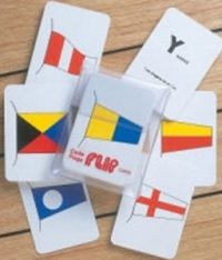 International Code Flags Flip Cards
1 × £10.00
International Code Flags Flip Cards
1 × £10.00
Subtotal: £918.65