-
×
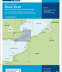 Imray Chart C8 Dover Strait
1 × £23.36
Imray Chart C8 Dover Strait
1 × £23.36 -
×
 18- England - South Coast, Falmouth Inner Harbour including Penryn
1 × £31.50
18- England - South Coast, Falmouth Inner Harbour including Penryn
1 × £31.50 -
×
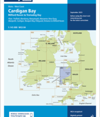 Imray Chart C51 Cardigan Bay
1 × £23.36
Imray Chart C51 Cardigan Bay
1 × £23.36 -
×
 1062 - Greece Nisoi Vorioi Sporadhes
1 × £31.50
1062 - Greece Nisoi Vorioi Sporadhes
1 × £31.50 -
×
 110 - Netherlands Westkapelle to Stellendam and Maasvlakte
1 × £31.50
110 - Netherlands Westkapelle to Stellendam and Maasvlakte
1 × £31.50 -
×
 NP220 Tidal Stream Atlas Rosyth Harbour & Approaches
1 × £20.07
NP220 Tidal Stream Atlas Rosyth Harbour & Approaches
1 × £20.07 -
×
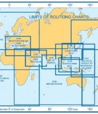 5126(10) - Indian Ocean Routeing Chart (October)
2 × £17.73
5126(10) - Indian Ocean Routeing Chart (October)
2 × £17.73 -
×
1183 - England East Coast Thames Estuary
1 × £31.50
-
×
 1021 - Pacific Ocean Coast Isle del Cano to Cabo Santa Elena
1 × £31.50
1021 - Pacific Ocean Coast Isle del Cano to Cabo Santa Elena
1 × £31.50 -
×
 115 - Moray Firth
1 × £31.50
115 - Moray Firth
1 × £31.50 -
×
 1005 - Marmara Adasi to Istanbul Bogazi (The Bosporus)
1 × £31.50
1005 - Marmara Adasi to Istanbul Bogazi (The Bosporus)
1 × £31.50 -
×
 NP249 Tidal Stream Atlas Thames Estuary
1 × £20.07
NP249 Tidal Stream Atlas Thames Estuary
1 × £20.07 -
×
 269 - Ploce and Split with Adjacent Harbours Channels and Anchorages
2 × £31.50
269 - Ploce and Split with Adjacent Harbours Channels and Anchorages
2 × £31.50 -
×
 1198 - Turkey Istanbul Bogazi (The Bosporus)
1 × £31.50
1198 - Turkey Istanbul Bogazi (The Bosporus)
1 × £31.50 -
×
 Admiralty NP57A Sailing Directions Norway Pilot Vol. 2A
1 × £75.96
Admiralty NP57A Sailing Directions Norway Pilot Vol. 2A
1 × £75.96 -
×
5124(10) - Routeing Chart North Atlantic Ocean - October
2 × £17.73
-
×
 466 - Haiti West Coast Port-Au-Prince and Approaches
1 × £31.50
466 - Haiti West Coast Port-Au-Prince and Approaches
1 × £31.50 -
×
 NP251 Tidal Stream Atlas North Sea Southern Part
2 × £20.07
NP251 Tidal Stream Atlas North Sea Southern Part
2 × £20.07
Subtotal: £620.38