-
×
 GMDSS Manual 2024 Edition
1 × £135.00
GMDSS Manual 2024 Edition
1 × £135.00 -
×
 4004 - Planning Chart for the North Atlantic Ocean and Mediterranean Sea
1 × £31.50
4004 - Planning Chart for the North Atlantic Ocean and Mediterranean Sea
1 × £31.50 -
×
5124(5) - Routeing Chart North Atlantic Ocean - May
1 × £17.73
-
×
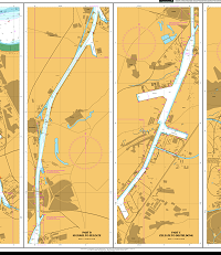
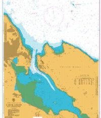 1237 - Larne Lough and Approaches
1 × £31.50
1237 - Larne Lough and Approaches
1 × £31.50 -
×
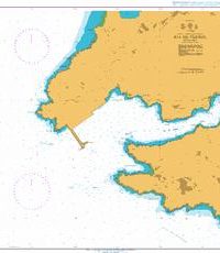
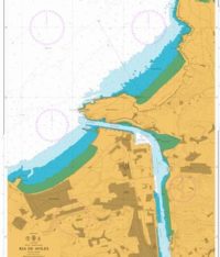 1142 - Spain North Coast Ria de Aviles
1 × £31.50
1142 - Spain North Coast Ria de Aviles
1 × £31.50 -
×
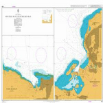
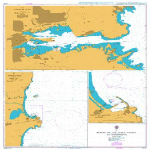 1210 - Italy Ports on the East Coast of Sardegna
1 × £31.50
1210 - Italy Ports on the East Coast of Sardegna
1 × £31.50 -
×
 4009 - Planning Chart for the Antarctic Region
1 × £31.50
4009 - Planning Chart for the Antarctic Region
1 × £31.50 -
×
 114 - Netherlands and Belgium Canal Gent-Terneuzen
1 × £31.50
114 - Netherlands and Belgium Canal Gent-Terneuzen
1 × £31.50 -
×
5124(4) - Routeing Chart North Atlantic Ocean - April
1 × £17.73
-
×
5134 - Kenmare River to Cork Harbour Instructional Chart
1 × £7.38
-
×
 1118 - Spain North West Coast Ria de Ferrol
1 × £31.50
1118 - Spain North West Coast Ria de Ferrol
1 × £31.50 -
×
 464 - Montego Bay and Ocho Rios Bay
1 × £31.50
464 - Montego Bay and Ocho Rios Bay
1 × £31.50 -
×
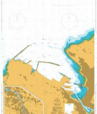 1173 - Bilbao
1 × £31.50
1173 - Bilbao
1 × £31.50 -
×
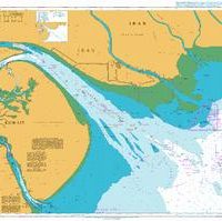 1235 - Khawr `Abd Allah and Approaches to Shatt al `Arab or Arvand Rud
1 × £31.50
1235 - Khawr `Abd Allah and Approaches to Shatt al `Arab or Arvand Rud
1 × £31.50 -
×
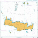 1091 - Nisos Kriti
1 × £31.50
1091 - Nisos Kriti
1 × £31.50 -
×
 1154 - Spain North Coast Gijon
1 × £31.50
1154 - Spain North Coast Gijon
1 × £31.50 -
×
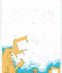
3736 - The Kingdom of Bahrain Mina Salma
1 × £31.50
-
×
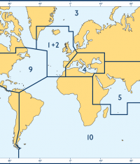
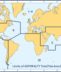 Admiralty Total Tide Area 10 South Atlantic & Indian Ocean (Southern Part)
2 × £68.85
Admiralty Total Tide Area 10 South Atlantic & Indian Ocean (Southern Part)
2 × £68.85
Subtotal: £725.04