-
×
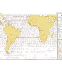 5125(4) - Routeing Chart South Atlantic Ocean - April
2 × £17.73
5125(4) - Routeing Chart South Atlantic Ocean - April
2 × £17.73 -
×
 5124(12) - Routeing Chart North Atlantic Ocean - December
1 × £17.73
5124(12) - Routeing Chart North Atlantic Ocean - December
1 × £17.73 -
×
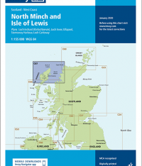 Imray Chart C67 North Minch and Isle of Lewis
1 × £23.36
Imray Chart C67 North Minch and Isle of Lewis
1 × £23.36 -
×
 39 - Gulf of Kachchh to Sonmiani Bay
1 × £31.50
39 - Gulf of Kachchh to Sonmiani Bay
1 × £31.50 -
×
 31 - Harbours on the South Coast of Cornwall
1 × £31.50
31 - Harbours on the South Coast of Cornwall
1 × £31.50 -
×
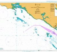
 1205 - Italy Sardegna Oristano and Approaches
1 × £31.50
1205 - Italy Sardegna Oristano and Approaches
1 × £31.50 -
×
 106 - England East Coast Cromer to Smiths Knoll
1 × £31.50
106 - England East Coast Cromer to Smiths Knoll
1 × £31.50 -
×
 Manual on Oil Pollution (Section II) 2018 Edition
1 × £21.60
Manual on Oil Pollution (Section II) 2018 Edition
1 × £21.60 -
×
 NP204 Tide Tables Vol. 4 2024
1 × £39.60
NP204 Tide Tables Vol. 4 2024
1 × £39.60 -
×
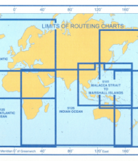
 5127(1) - Routeing Chart North Pacific Ocean - January
1 × £17.73
5127(1) - Routeing Chart North Pacific Ocean - January
1 × £17.73 -
×
5125(7) - Routeing Chart South Atlantic Ocean - July
1 × £17.73
-
×
 NP232 Guide to ECDIS Implementation Policy and Procedures
1 × £98.73
NP232 Guide to ECDIS Implementation Policy and Procedures
1 × £98.73 -
×
 327 - Northern Approaches to Yanbu'
2 × £31.50
327 - Northern Approaches to Yanbu'
2 × £31.50 -
×
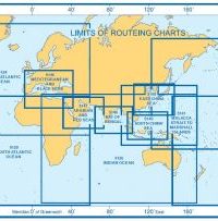
 5146(8) - Routeing Chart Mediterranean and Black Seas (August)
2 × £17.73
5146(8) - Routeing Chart Mediterranean and Black Seas (August)
2 × £17.73 -
×
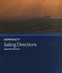 NP42C Admiralty Sailing Directions Japan Pilot Volume 4
1 × £75.96
NP42C Admiralty Sailing Directions Japan Pilot Volume 4
1 × £75.96 -
×
5125(10) - Routeing Chart South Atlantic Ocean - October
1 × £17.73
-
×
 5142(1) - Routeing Chart Gulf of Mexico and Caribbean Sea (January)
2 × £17.73
5142(1) - Routeing Chart Gulf of Mexico and Caribbean Sea (January)
2 × £17.73 -
×
 1193 - Tarragona
1 × £31.50
1193 - Tarragona
1 × £31.50 -
×
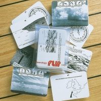
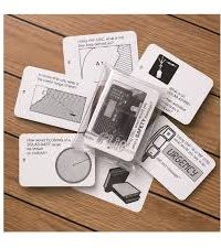
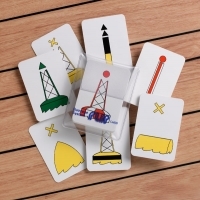
 Lights & Shapes Flip Cards
1 × £10.00
Lights & Shapes Flip Cards
1 × £10.00
Subtotal: £667.05